
DJI Terra
End-to-End Drone Mapping Software for Surveying and Analysis
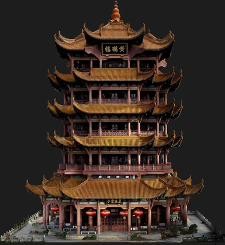
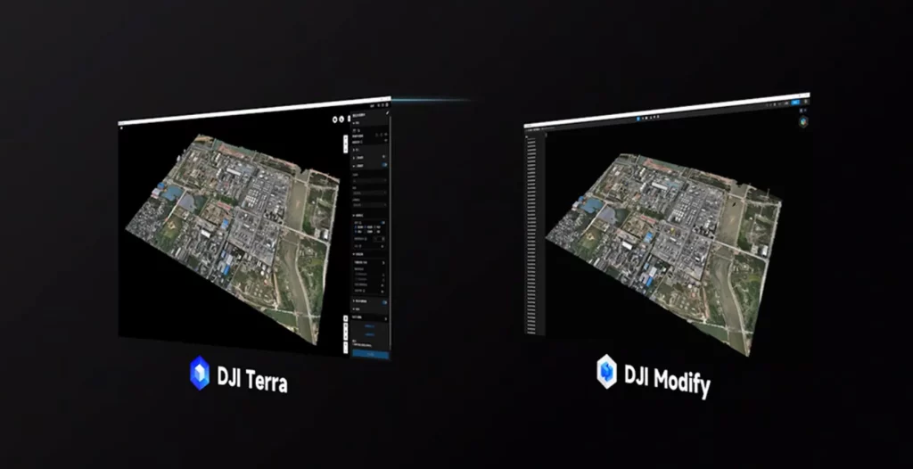
DJI Terra is a powerful photogrammetry software platform designed to transform drone data into actionable insights. From flight planning and data acquisition to 2D maps and 3D models, DJI Terra supports the full workflow of drone-based surveying with speed, precision, and flexibility.
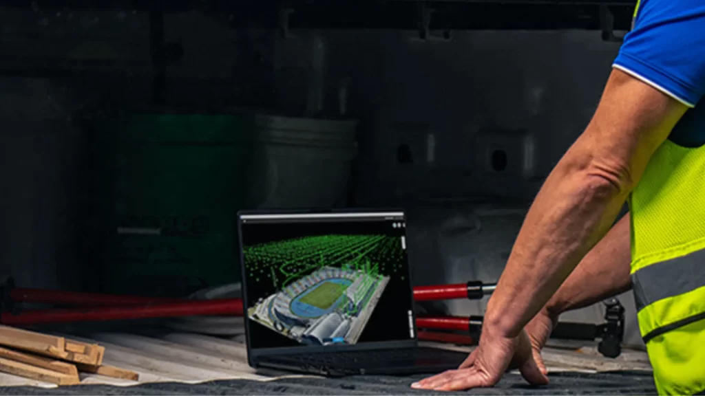
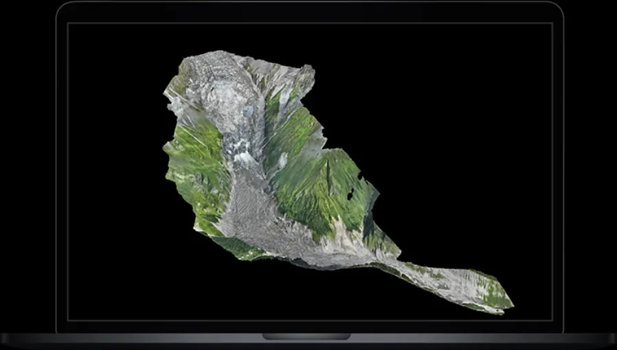
An all-in-one drone mapping software, DJI Terra enables mission planning, automated data capture, high-efficiency processing, and detailed analysis. It is compatible with DJI’s enterprise drone systems like the M300 RTK + P1, Mavic 3 Enterprise, and Phantom 4 RTK, delivering accurate results across various mapping and modelling scenarios.
Key Features
Complete Mapping Workflow with DJI Terra

In-The-Box
- DJI Terra Licence x 1
Specs Sheet
Specification
| Category | Specification |
| System Requirements | A Windows 10 or above (64 bits) system and necessary hardware configuration are required when using the DJI Terra. |
| Standalone System Requirements | Minimum system requirements: 32GB RAM, 4GB graphics RAM (the computing power for the NVidia graphics should be shader model 6.1 or better).Recommended system requirements: 64GB RAM or more. NVidia 2070 graphics or higher.Where configuration requirements are met, every additional 10GB of free memory can process additional 4,000 photos. More advanced configurations will enable more photos to be processed and faster |
| Cluster Computation Requirements | Operating System: Windows 7 or above (64-bit)RAM: At least 32G, while 64G or above is recommendedGraphics Card: NVIDIA GeForce GTX 2070 and above graphics card are recommended(Computing power must be 3.0 and above)At least 4G discrete graphics RAMAMD graphics cards are not supportedCPU: Intel or AMD mainstream processorsHard Disk: At least 1T of mechanical hard disk driveNetwork: 10-Gigabit wired network environment |
System Requirements
A Windows 10 or above (64 bits) system and necessary hardware configuration are required when using the DJI Terra.
Standalone System Requirements
Minimum system requirements: 32GB RAM, 4GB graphics RAM (the computing power for the NVidia graphics should be shader model 6.1 or better).Recommended system requirements: 64GB RAM or more. NVidia 2070 graphics or higher.Where configuration requirements are met, every additional 10GB of free memory can process additional 4,000 photos. More advanced configurations will enable more photos to be processed and faster
Cluster Computation Requirements
Operating System: Windows 7 or above (64-bit)RAM: At least 32G, while 64G or above is recommendedGraphics Card: NVIDIA GeForce GTX 2070 and above graphics card are recommended(Computing power must be 3.0 and above)At least 4G discrete graphics RAMAMD graphics cards are not supportedCPU: Intel or AMD mainstream processorsHard Disk: At least 1T of mechanical hard disk driveNetwork: 10-Gigabit wired network environment
Get In Touch
Have questions? Our drone experts are here to help