
Emlid Reach RX
Pocket-Sized Network RTK Rover for Centimeter Accuracy
Reach RX is a compact GNSS rover that delivers survey‑grade accuracy in a pocket‑sized form. Built for speed, simplicity, and reliability, it enables precise positioning for a wide range of field applications without the complexity of traditional survey tools
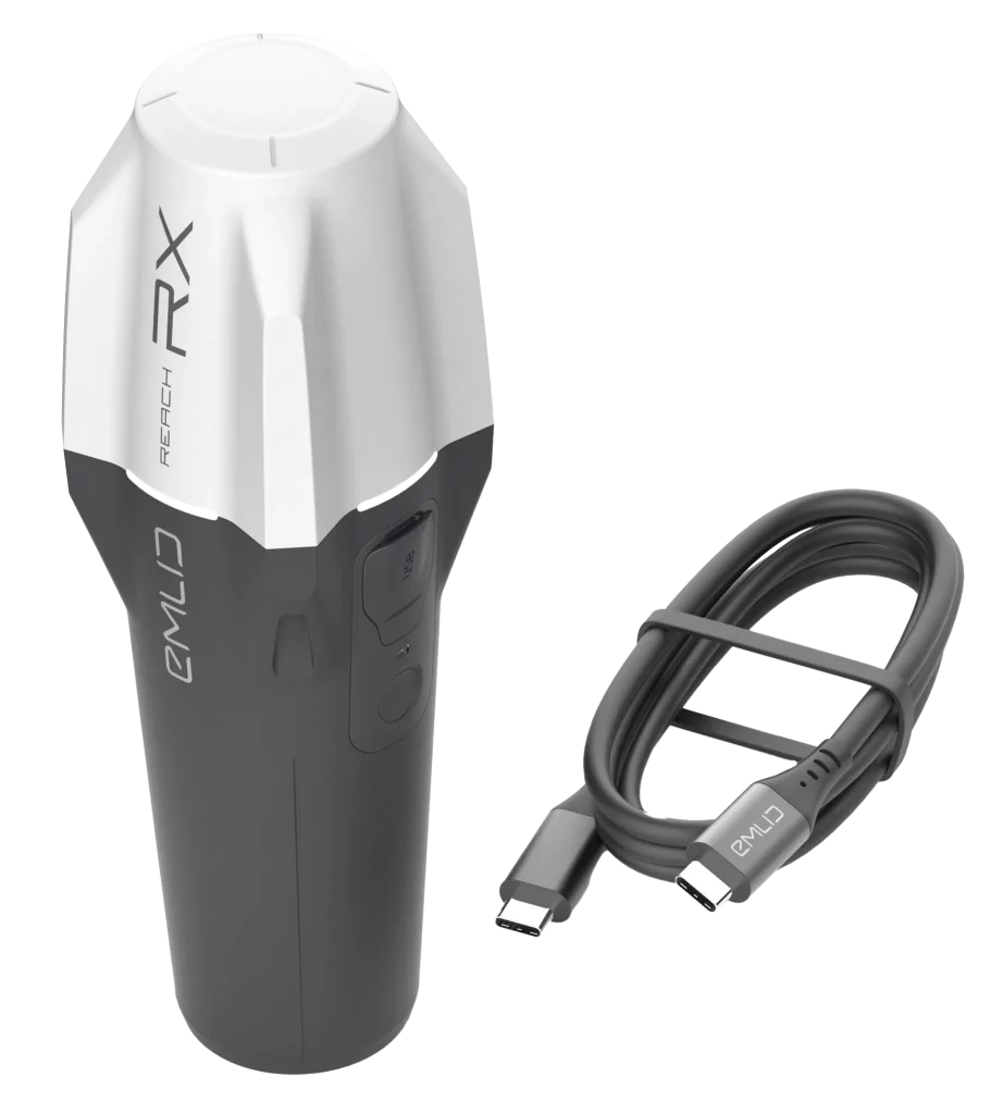

The Emlid Reach RX is a high‑precision RTK rover engineered for both professionals and teams with no prior surveying experience. Achieving centimeter accuracy in seconds, it is ideal for GIS data collection, utility inspection, construction layout, landscaping, and drone mapping. Fully compatible with iOS and Android, it integrates seamlessly with Emlid Flow and leading third‑party apps. With IP68 durability, all‑day battery life, and effortless NTRIP connectivity, Reach RX makes precision positioning simple, reliable, and efficient
Centimeter Accuracy, Fast Fix

Seamless Connectivity

Robust by Design
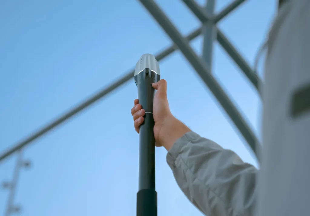
All‑Day Power

Effortless Field Deployment
- Reach RX x 1
- USB Type-C cable
| Category | Specification |
| Precision RTK | H: 7mm + 1ppm, V: 14mm + 1ppm |
| Convergence time | ~5s typically |
| Signal tracked | GPS/QZSS L1C/A, L2C; GLONASS L1OF, L2OF; BeiDou B1I, B2I; Galileo E1-B/C, E5b |
| Number of channels | 184 |
| Update rate | 5Hz |
| Category | Specification |
| Autonomy | Up to 16hrs |
| Battery | Li-Ion 5200mAh, 3.6V, 18.72Wh |
| Charging | USB Type-C, 5V, 2A |
| Certification | FCC, CE, IC |
| Category | Specification |
| Dimensions | 172 × 51 × 51 mm (6.77 × 2.00 × 2.00 in) |
| Mount | 5/8”-11UNC |
| Weight | 250 g (8.81 oz) |
| Ingress protection | IP68 (maximum depth of 1.5 meters up to 30 minutes) |
| Operating tº | –20 to +65 °C |
| Category | Specification |
| Communication interface | Bluetooth 4.2 |
| Ports | USB Type-C |
| Input data format | RTCM3 |
| Input data protocol | NTRIP |
| Position output | NMEA |
Get In Touch
Have questions? Our drone experts are here to help