
DJI Zenmuse P1
Full‑Frame Photogrammetry Payload for Aerial Surveying
The Zenmuse P1 brings together high‑resolution imaging, survey‑grade accuracy, and seamless DJI ecosystem integration. Built for efficiency, it streamlines aerial mapping and modeling workflows across industries.
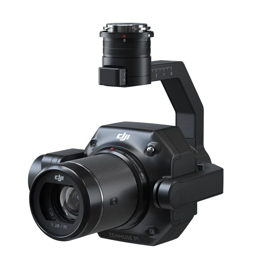
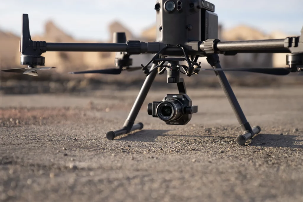
The DJI Zenmuse P1 is a dedicated aerial photogrammetry payload that integrates a 45 MP full‑frame sensor, interchangeable fixed‑focus lenses, and a 3‑axis stabilized gimbal. Designed for surveying and mapping missions, it delivers centimeter‑level accuracy with high efficiency. Compatible with the DJI Matrice 300 RTK and Matrice 350 RTK platforms, the P1 is ideal for topographic mapping, cadastral surveys, AEC projects, natural resource management, geological investigation, and disaster site modeling.
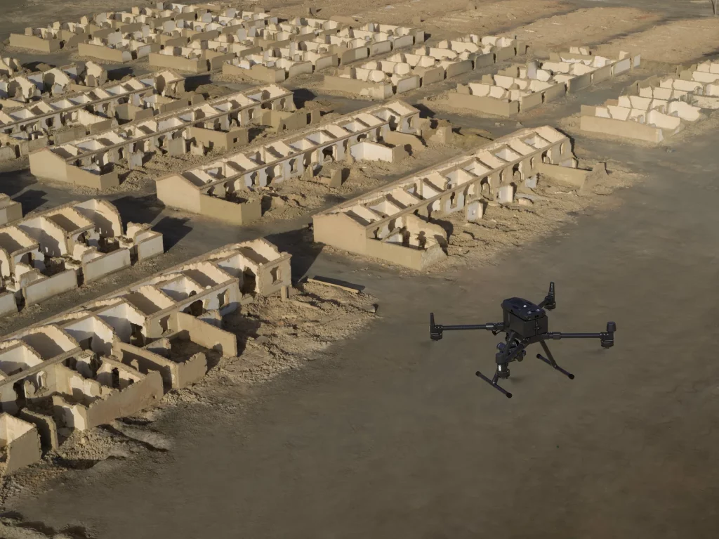
Exceptional Visual Clarity in Any Condition
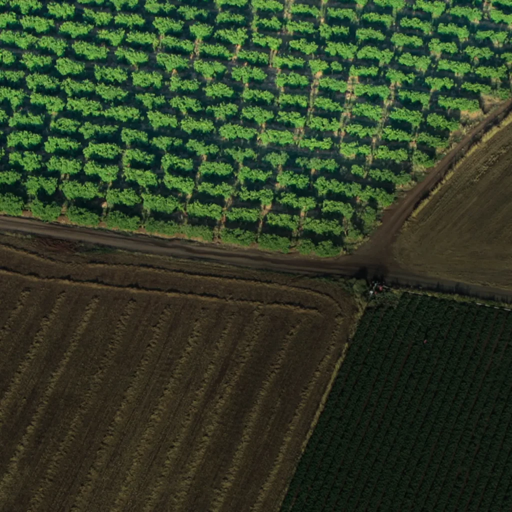
Precision Accuracy
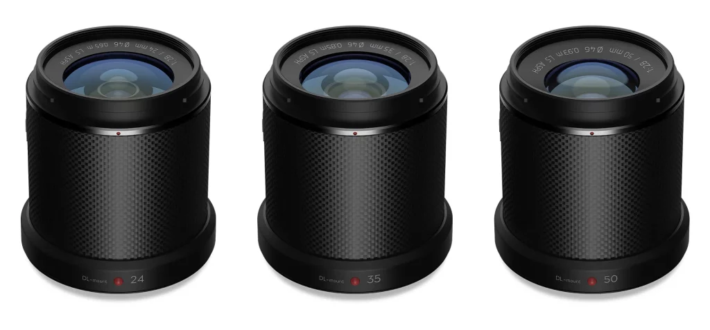
Flexible Lens Options
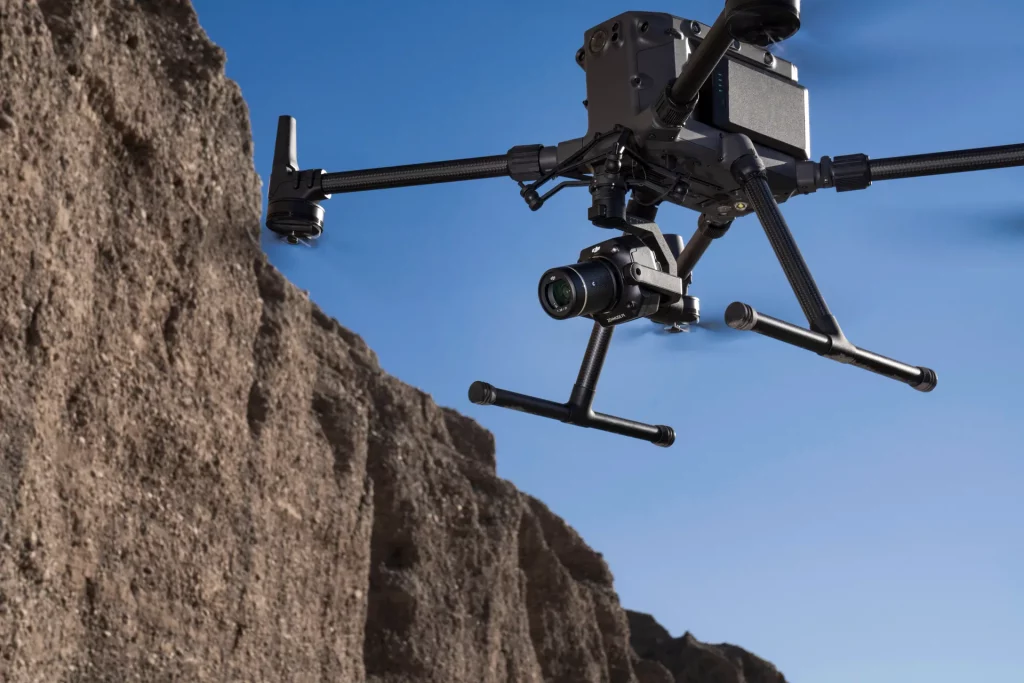
Smart Oblique Capture
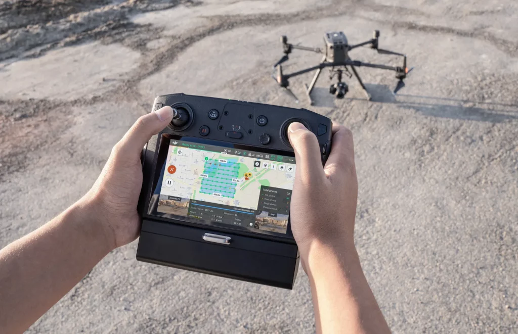
Intelligent Data Management
| Category | Specification |
| Product Name | ZENMUSE P1 |
| Dimensions | 198×166×129 mm |
| Weight | Approx. 800 g |
| Power | 20W |
| IP Rating | IP4X |
| Supported Aircraft | Matrice 300 RTK, Matrice 350 RTK, and Matrice 400 |
| Operating Temperature Range | -20° to 50° C (-4° to 122° F) |
| Storage Temperature Range | -20° to 60° C (-4° to 140° F) |
| Absolute Accuracy | Horizontal: 3 cm, Vertical: 5 cm * Using Mapping Mission at a GSD of 3 cm and flight speed of 15 m/s, with an 75% front overlap rate and a 55% side overlap rate. |
Using Mapping Mission at a GSD of 3 cm and flight speed of 15 m/s, with an 75% front overlap rate and a 55% side overlap rate.
| Category | Specification |
| Sensor | Sensor size (Still): 35.9×24 mm (Full frame). Sensor size (Max video recording area): 34×19 mm. Effective Pixels: 45MP. Pixel size: 4.4 μm |
| Supported Lenses | DJI DL 24mm F2.8 LS ASPH (with lens hood and balancing ring/filter), FOV 84°. DJI DL 35mm F2.8 LS ASPH (with lens hood and balancing ring/filter), FOV 63.5°. DJI DL 50mm F2.8 LS ASPH (with lens hood and balancing ring/filter), FOV 46.8° |
| Supported SD Cards | SD: UHS-I rating or above; Max capacity: 512 GB |
| Storage Files | Photo / GNSS Raw Observation Data / Image Log File |
| Photo Size | 3:2 (8192×5460) |
| Operation Modes | Photo, Video, Playback |
| Minimum Photo Interval | 0.7 s |
| Shutter Speed | Mechanical Shutter Speed: 1/2000*–1 s. Electronic Shutter Speed: 1/8000–1 s. *Aperture value no larger than f/5.6 |
| Aperture Range | f/2.8–f/16 |
| ISO Range | Photo: 100–25600. Video: 100–25600 |
Sensor size (Max video recording area): 34×19 mm.
Effective Pixels: 45MP. Pixel size: 4.4 μm
DJI DL 35mm F2.8 LS ASPH (with lens hood and balancing ring/filter), FOV 63.5°.
DJI DL 50mm F2.8 LS ASPH (with lens hood and balancing ring/filter), FOV 46.8°
Electronic Shutter Speed: 1/8000–1 s.
*Aperture value no larger than f/5.6
Video: 100–25600
| Category | Specification |
| Video Format | MP4, MOV |
| Video Resolution | 16:9 (1920×1080). 16:9 (3840×2160)*. *Only 35mm lens supported |
| Frame Rate | 60fps |
*Only 35mm lens supported
| Category | Specification |
| Stabilized System | 3-axis (tilt, roll, pan) |
| Angular Vibration Range | ±0.01° |
| Mount | Detachable DJI SKYPORT |
| Mechanical Range | Tilt: -130° to +40°. Roll: -55° to +55°. Pan: ±320° |
Roll: -55° to +55°.
Pan: ±320°
Get In Touch
Have questions? Our drone experts are here to help