
Emlid Reach RX2
Ultra-Light, High-Precision RTK Rover for Fast Mobile Mapping
Emlid Reach RX2
The Emlid Reach RX2 is an ultra-portable, multi-band RTK rover designed for fast, reliable, and effortless surveying. Delivering centimeter-level accuracy with no configuration required, RX2 connects instantly to NTRIP services and works seamlessly with Emlid Flow on iOS and Android. With state-of-the-art GNSS capabilities, 60° tilt compensation, dual-band Wi-Fi, and a rugged IP68 housing, Reach RX2 is built for professionals in surveying, construction, utilities, and GIS who need high-precision measurements in a compact form factor.
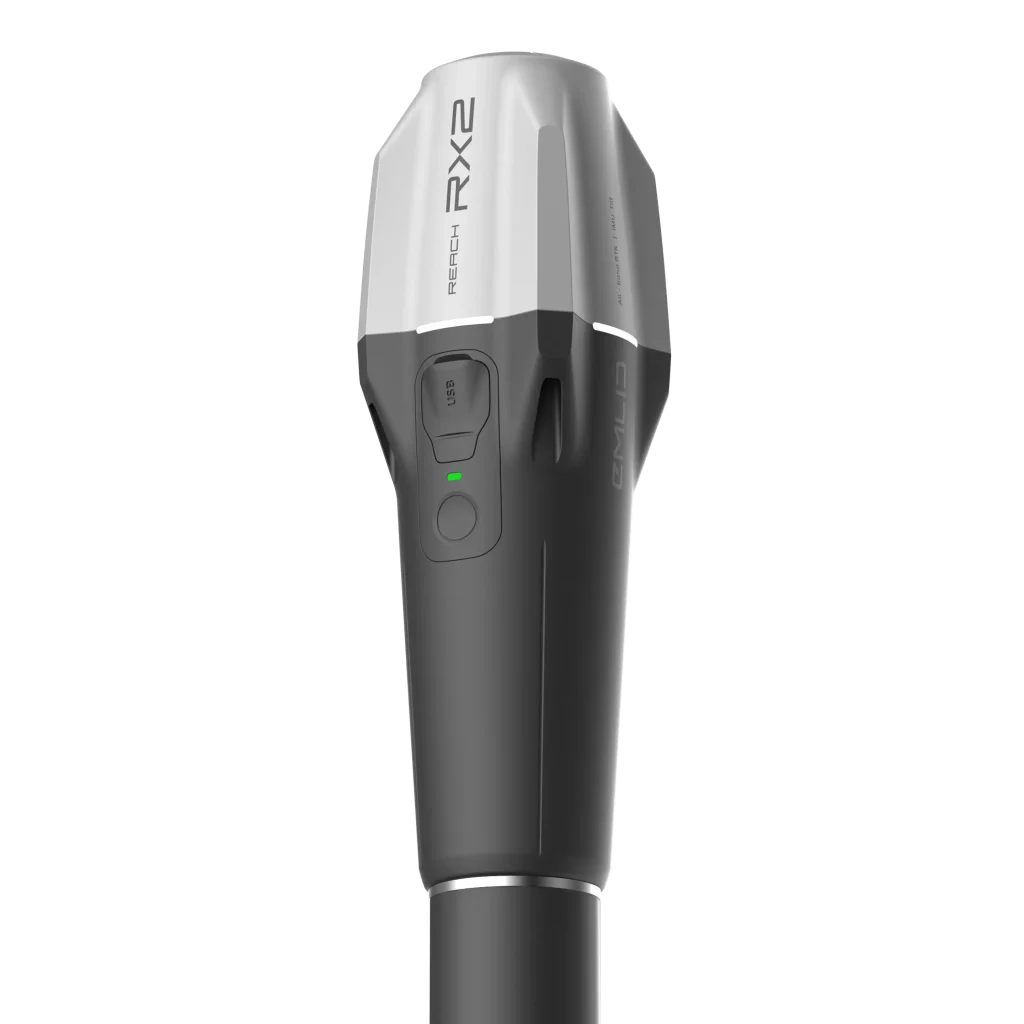
Key Features

High-Precision GNSS Performance
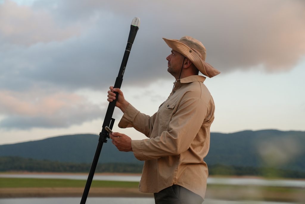
Tilt Compensation
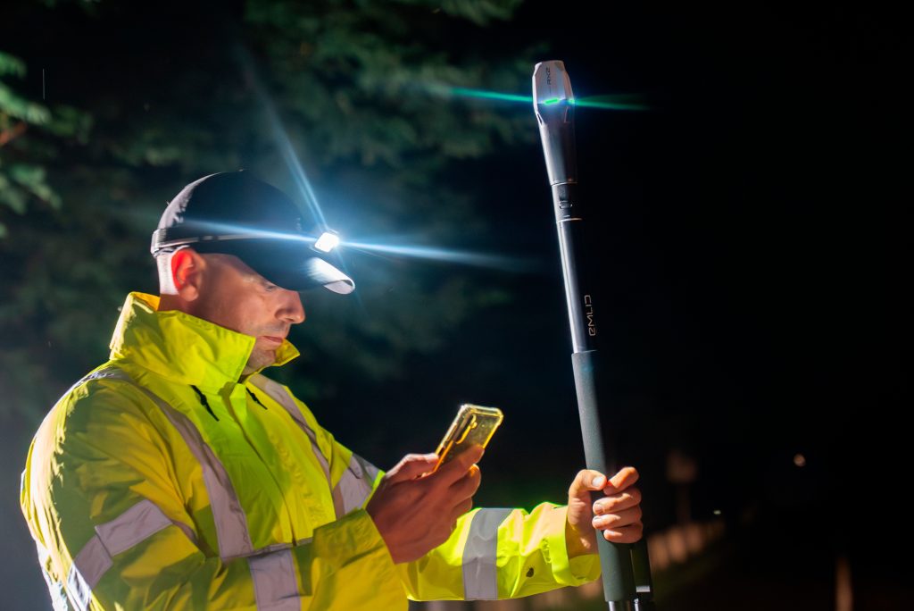
Instant Connectivity
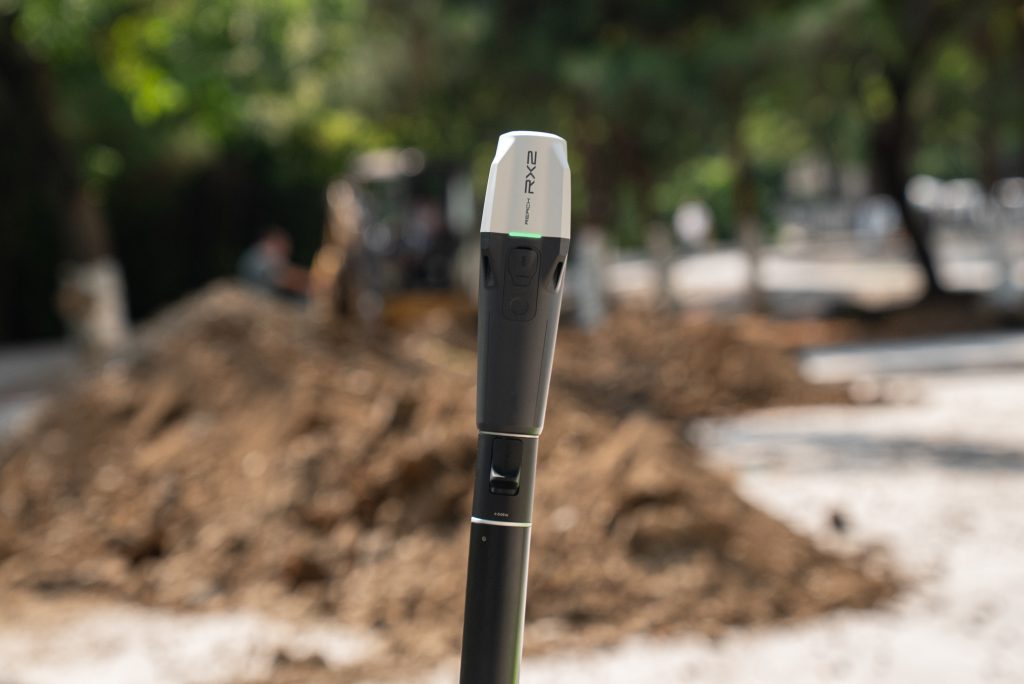
Rugged & Field-Ready
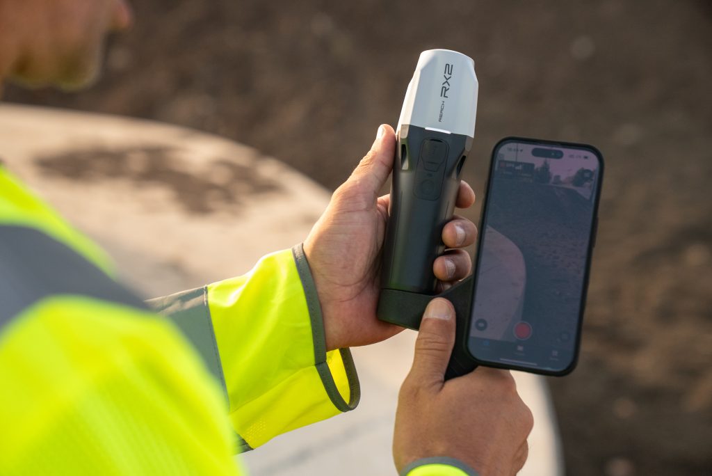
Streamlined Mobile Workflow
In-The-Box
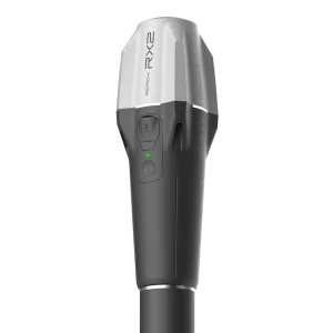
- Reach RX2
- USB Type-C cable
Specs Sheet
Mechanical
| Category | Specification |
| Dimensions | 172 x 51 x 51 mm (6.77 x 2.00 x 2.00 in) |
| Mount | 5/8”-11 UNC and quick release |
| Weight | 280 g (0.62 lb) |
| Operating tº | -20 to +65 ºC (-4 a 149 °F) |
| Ingress protection | IP68 (maximum depth of 1.5 meters up to 30 minutes) |
Dimensions
172 x 51 x 51 mm
(6.77 x 2.00 x 2.00 in)
(6.77 x 2.00 x 2.00 in)
Mount
5/8”-11 UNC and quick release
Weight
280 g (0.62 lb)
Operating tº
-20 to +65 ºC (-4 a 149 °F)
Ingress protection
IP68 (maximum depth of 1.5 meters up to 30 minutes)
Electrical
| Category | Specification |
| Autonomy | Up to 16 hrs |
| Battery | Li-Ion 7000 mAh, 3.6V, 25.2 Wh |
| Charging | USB Type-C, 5V 2A |
| Certification | FCC, CE, IC, MFi |
Autonomy
Up to 16 hrs
Battery
Li-Ion 7000 mAh, 3.6V, 25.2 Wh
Charging
USB Type-C, 5V 2A
Certification
FCC, CE, IC, MFi
Positioning
| Category | Specification |
| RTK | H: 7 mm + 1 ppm V: 14 mm + 1 ppm |
| Tilt | RTK + 2 mm + 0.3 mm/° |
| Convergence time | ~5 s typically |
RTK
H: 7 mm + 1 ppm
V: 14 mm + 1 ppm
V: 14 mm + 1 ppm
Tilt
RTK + 2 mm + 0.3 mm/°
Convergence time
~5 s typically
Connectivity
| Category | Specification |
| Communication interface | Bluetooth 4.2 (BR/EDR + LE) |
| Ports | USB Type-C |
Communication interface
Bluetooth 4.2 (BR/EDR + LE)
Ports
USB Type-C
Data
| Category | Specification |
| Input data format | RTCM3 |
| Input data protocol | NTRIP |
| Position data format | NMEA |
Input data format
RTCM3
Input data protocol
NTRIP
Position data format
NMEA
GNSS
| Category | Specification |
| Signal tracked | GPS: L1C/A, L2C, L5, GLONASS: L1OF, L2OF, Galileo: E1-B/C, E5a, E6, BeiDou: B1I, B1C, B2a, B3I, QZSS: L1C/A, L1C/B11, L2C, L5, NavIC: L1-SPS Data, L5-SPS |
| Number of channels | 672 |
| Update rate | 5 Hz |
Signal tracked
GPS: L1C/A, L2C, L5,
GLONASS: L1OF, L2OF,
Galileo: E1-B/C, E5a, E6,
BeiDou: B1I, B1C, B2a, B3I,
QZSS: L1C/A, L1C/B11, L2C, L5,
NavIC: L1-SPS Data, L5-SPS
GLONASS: L1OF, L2OF,
Galileo: E1-B/C, E5a, E6,
BeiDou: B1I, B1C, B2a, B3I,
QZSS: L1C/A, L1C/B11, L2C, L5,
NavIC: L1-SPS Data, L5-SPS
Number of channels
672
Update rate
5 Hz
Get In Touch
Have questions? Our drone experts are here to help