
Emlid Reach RS3
Centimetre-Grade GNSS with Real-Time Tilt Compensation
The Emlid Reach RS3 is a next-generation GNSS receiver designed for fast, precise fieldwork—even in locations where vertical alignment is difficult. Featuring IMU-based tilt compensation, a built-in LTE modem, and rugged durability, the RS3 is ideal for surveyors and field teams working in complex environments.
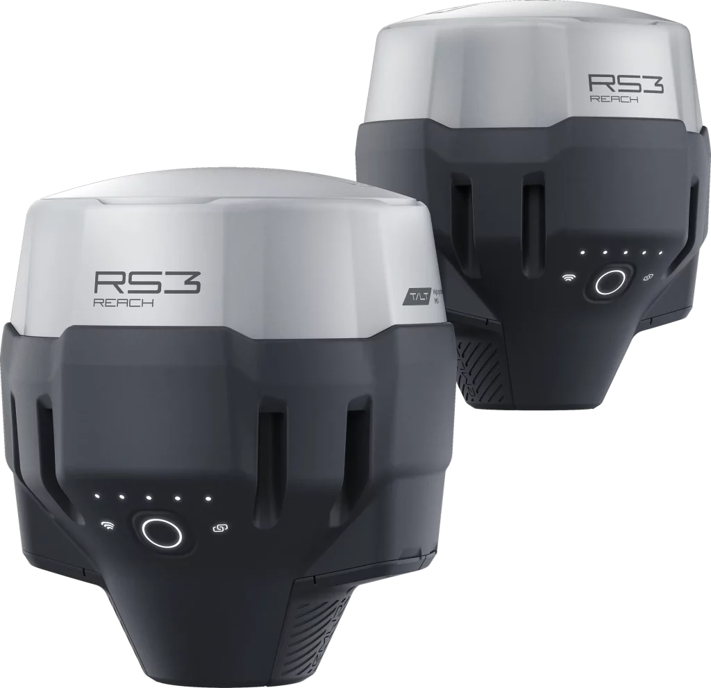
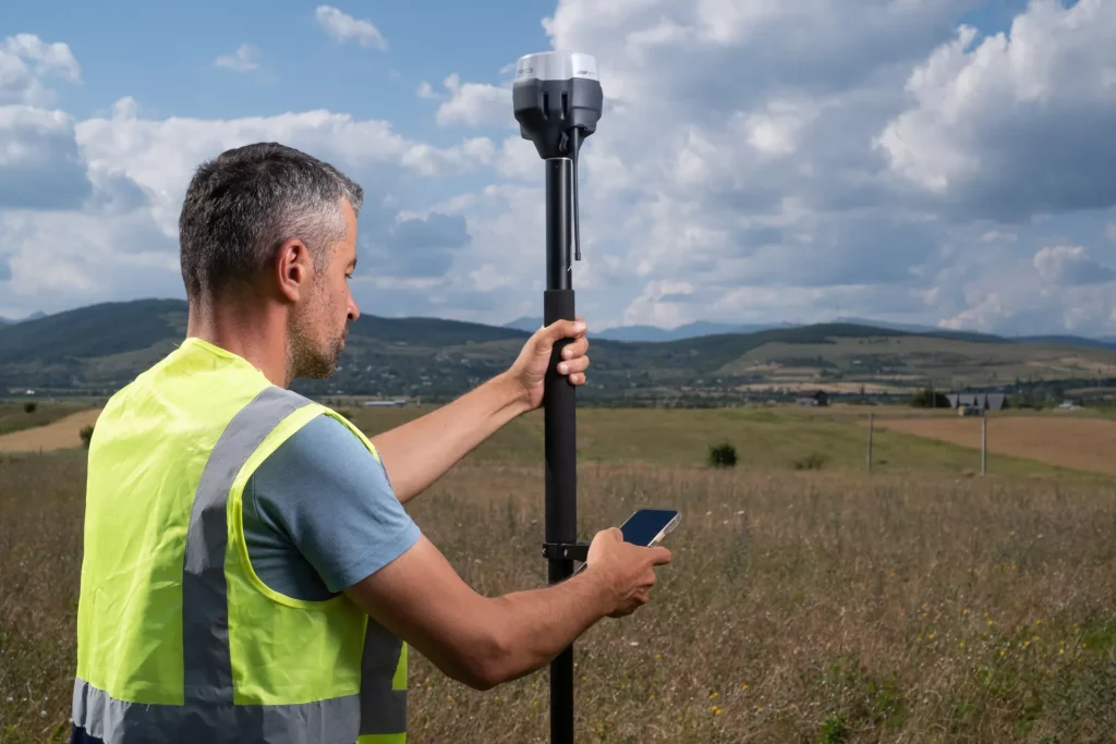
Lightweight, waterproof, and calibration-free, the Reach RS3 simplifies GNSS surveying by allowing accurate measurements with up to 60° tilt—without sacrificing precision. Backed by the Emlid ecosystem, it’s a compact, reliable solution that accelerates stakeout and mapping workflows.
Key Features

Tilt. Measure. Done.
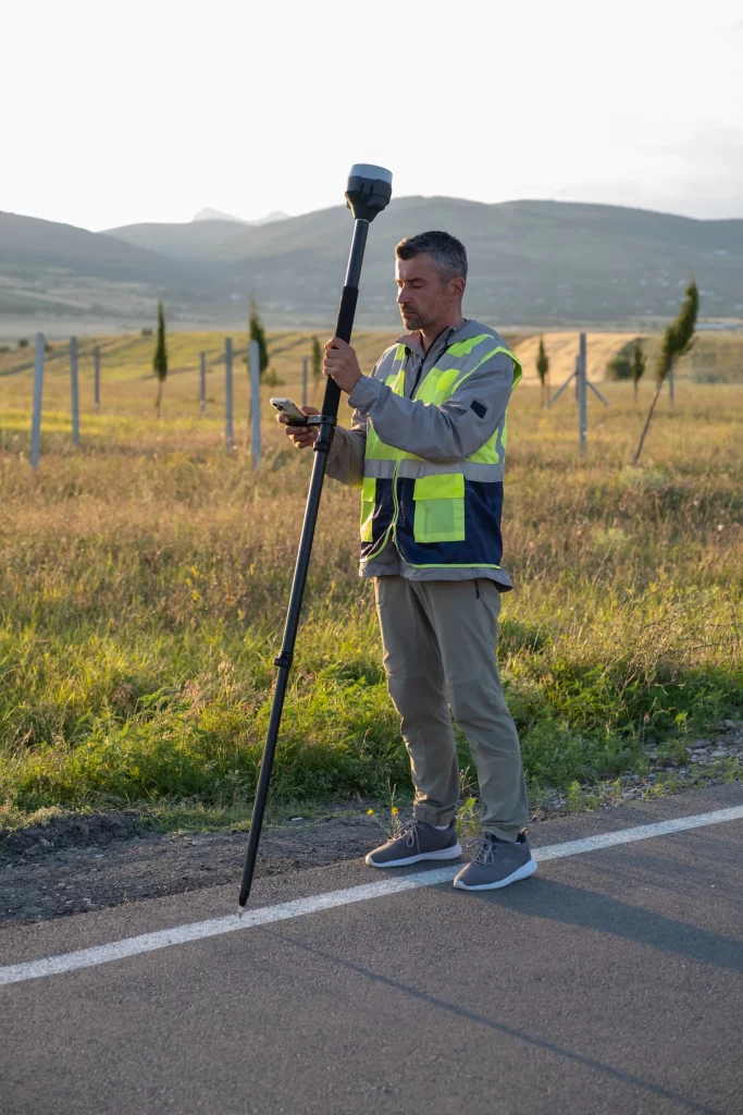
Centimetre Accuracy in Seconds
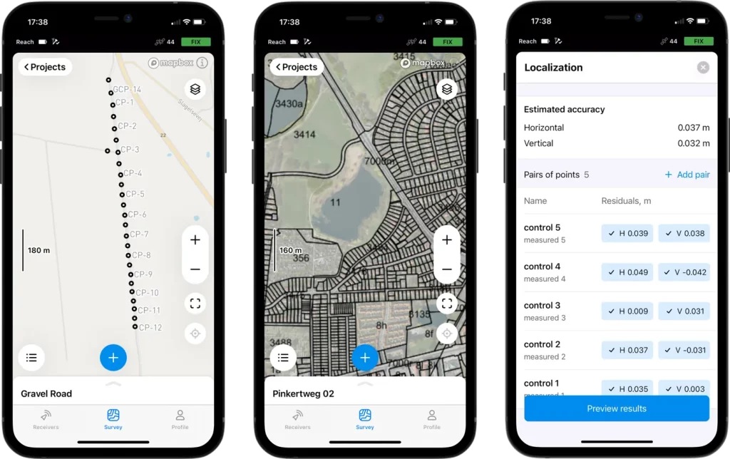
Emlid Ecosystem Integration
In-The-Box
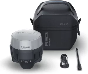
- Reach RS3 x 1
- Carrying case with a strap x 1
- Radio antenna x 1
- USB Type-C cable x 1
Specs Sheet
Mechanical
| Category | Specification |
| Dimensions | 126 x 126 x 142 mm |
| Weight | 950 g |
| Operating temperature | -20 to +65 ºC |
| Ingress protection | IP67 |
Dimensions
126 x 126 x 142 mm
Weight
950 g
Operating temperature
-20 to +65 ºC
Ingress protection
IP67
Electrical
| Category | Specification |
| Autonomy | 18 hrs as an RTK rover with tilt22 hrs of logging |
| Battery | Li-Ion 5200 mAh, 7.2 V, 37.44 Wh |
| Charging | USB Type-C 5 V, 3 A |
Autonomy
18 hrs as an RTK rover with tilt22 hrs of logging
Battery
Li-Ion 5200 mAh, 7.2 V, 37.44 Wh
Charging
USB Type-C 5 V, 3 A
Positioning
| Category | Specification |
| Static | H: 4 mm + 0.5 ppmV: 8 mm + 1 ppm |
| PPK | H: 5 mm + 0.5 ppmV: 10 mm + 1 ppm |
| RTK | H: 7 mm + 1 ppmV: 14 mm + 1 ppm |
| Tilt | RTK + 2 mm + 0.3 mm/° |
| Convergence time | ~5s typically |
Static
H: 4 mm + 0.5 ppmV: 8 mm + 1 ppm
PPK
H: 5 mm + 0.5 ppmV: 10 mm + 1 ppm
RTK
H: 7 mm + 1 ppmV: 14 mm + 1 ppm
Tilt
RTK + 2 mm + 0.3 mm/°
Convergence time
~5s typically
Connectivity
| Category | Specification |
| Radio | LoRa – Transmit and receiveFrequency Range: 868/915 MHzPower: 0.1WDistance: Up to 8 kmUHF* – Receive onlyFrequency Range: 410–470 MHzProtocols: TRIMTALK 450SModulation Type: GMSK*Requires a 410-470 MHz antenna, sold separately. |
| LTE modem | Regions: GlobalBands: FDD-LTE: 1, 2, 3, 4, 5, 7, 8, 12, 13, 18, 19, 20, 26, 28, 66TD-LTE: 38, 40, 41UMTS (WCDMA/FDD): 1, 3, 2, 4, 5, 6, 8, 19Quad-band, 850/1900, 900/1800 MHzSIM Card: Nano-SIM |
| Wi-Fi | 802.11 b/g/n |
| Bluetooth | 4.0/2.1 EDR |
| Ports | RS-232, USB Type-C |
Radio
LoRa – Transmit and receiveFrequency Range: 868/915 MHzPower: 0.1WDistance: Up to 8 kmUHF* – Receive onlyFrequency Range: 410–470 MHzProtocols: TRIMTALK 450SModulation Type: GMSK*Requires a 410-470 MHz antenna, sold separately.
LTE modem
Regions: GlobalBands: FDD-LTE: 1, 2, 3, 4, 5, 7, 8, 12, 13, 18, 19, 20, 26, 28, 66TD-LTE: 38, 40, 41UMTS (WCDMA/FDD): 1, 3, 2, 4, 5, 6, 8, 19Quad-band, 850/1900, 900/1800 MHzSIM Card: Nano-SIM
Wi-Fi
802.11 b/g/n
Bluetooth
4.0/2.1 EDR
Ports
RS-232, USB Type-C
Data
| Category | Specification |
| Corrections | NTRIP, RTCM3 |
| Position output | NMEA, LLH/XYZ |
| Data logging | RINEX, NMEA, LLH/XYZ, UBX |
| Internal storage | 16 GB |
Corrections
NTRIP, RTCM3
Position output
NMEA, LLH/XYZ
Data logging
RINEX, NMEA, LLH/XYZ, UBX
Internal storage
16 GB
GNSS
| Category | Specification |
| Signal tracked | GPS/QZSS L1C/A, L2C,GLONASS L1OF, L2OF,BeiDou B1I, B2I, GalileoE1B/C, E5b |
| Number of channels | 184 |
| Update rates | Up to 10 Hz |
| IMU | 6DOF |
Signal tracked
GPS/QZSS L1C/A, L2C,GLONASS L1OF, L2OF,BeiDou B1I, B2I, GalileoE1B/C, E5b
Number of channels
184
Update rates
Up to 10 Hz
IMU
6DOF
Get In Touch
Have questions? Our drone experts are here to help