
DJI Modify
Streamlined Software for 3D Model Editing & Optimization
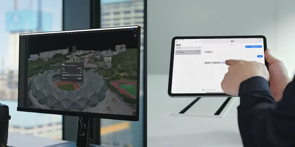
DJI Modify is a lightweight, efficient software solution designed for rapid 3D model editing, cleanup, and optimization. Tailored for surveyors, inspectors, and public safety teams, it integrates seamlessly with DJI Terra and FlightHub 2 to deliver a complete end-to-end workflow. With intuitive tools for repairing, annotating, and simplifying drone-generated 3D models, DJI Modify helps professionals turn raw aerial data into clear, shareable, and actionable outputs.

Key Features
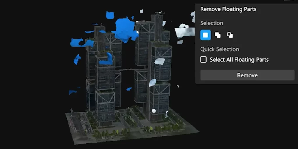
3D Model Editing
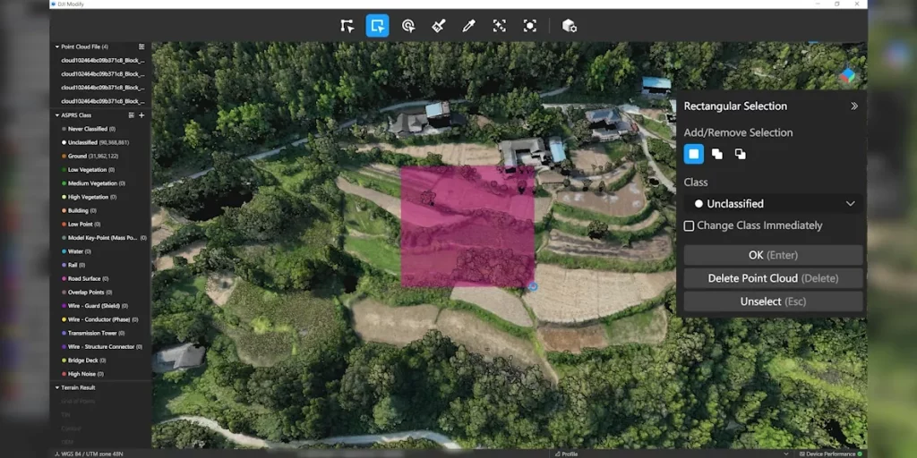
Annotation & Measurement
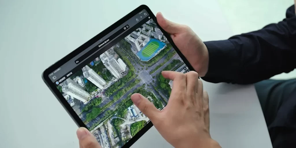
Workflow Integration
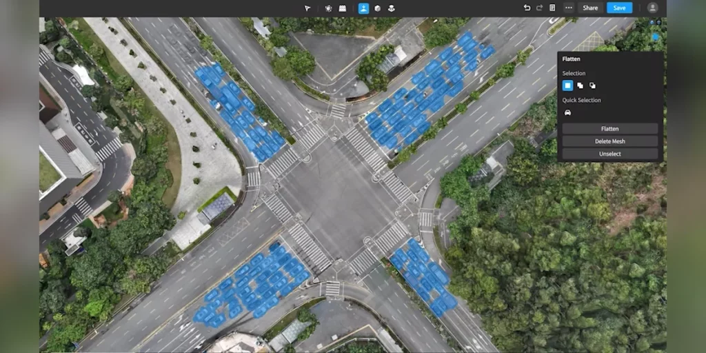
Performance & Usability
Data & Access
Specs Sheet
Platform Overview
| Category | Specification |
| Product Type | 3D model editing and optimization software |
| Deployment | Local desktop software |
| Licensing | Subscription-based |
| Compatibility | Directly supports DJI Terra outputs; integrates with FlightHub 2 |
| Target Users | Surveying, inspection, public safety, energy, construction |
Product Type
3D model editing and optimization software
Deployment
Local desktop software
Licensing
Subscription-based
Compatibility
Directly supports DJI Terra outputs; integrates with FlightHub 2
Target Users
Surveying, inspection, public safety, energy, construction
Core Editing Functions
| Category | Specification |
| Model Repair | One-click hole filling and surface patching |
| Noise Cleanup | Remove floating points and reconstruction errors |
| Mesh Optimization | Simplify meshes for smoother performance |
| Texture Adjustment | Enhance surface details and realism |
Model Repair
One-click hole filling and surface patching
Noise Cleanup
Remove floating points and reconstruction errors
Mesh Optimization
Simplify meshes for smoother performance
Texture Adjustment
Enhance surface details and realism
Measurement & Annotation
| Category | Specification |
| Distance Measurement | Point-to-point measurement on models |
| Area & Volume Tools | Polygonal area and volumetric calculations |
| Annotations | Add notes, tags, and markers directly to models |
| Export Options | Export annotated models for client sharing and reporting |
Distance Measurement
Point-to-point measurement on models
Area & Volume Tools
Polygonal area and volumetric calculations
Annotations
Add notes, tags, and markers directly to models
Export Options
Export annotated models for client sharing and reporting
Workflow Integration
| Category | Specification |
| Input Sources | DJI Terra 3D model outputs |
| Output Formats | Common 3D file types (OBJ, PLY, etc.) |
| FlightHub 2 | Cloud sharing for collaboration |
| Third-Party | Compatible with external CAD/GIS applications |
Input Sources
DJI Terra 3D model outputs
Output Formats
Common 3D file types (OBJ, PLY, etc.)
FlightHub 2
Cloud sharing for collaboration
Third-Party
Compatible with external CAD/GIS applications
Performance & Usability
| Category | Specification |
| Dataset Handling | Supports large-scale 3D models from drone surveys |
| User Interface | Lightweight, intuitive interface for quick edits |
| Processing | Local machine processing for security and speed |
| Hardware Requirement | Optimized for modern workstation-class PCs |
Dataset Handling
Supports large-scale 3D models from drone surveys
User Interface
Lightweight, intuitive interface for quick edits
Processing
Local machine processing for security and speed
Hardware Requirement
Optimized for modern workstation-class PCs
Data Security
| Category | Specification |
| Processing Mode | Local (offline capable) |
| Data Control | Organization retains full control of model data |
| Licensing | Enterprise account and user management supported |
Processing Mode
Local (offline capable)
Data Control
Organization retains full control of model data
Licensing
Enterprise account and user management supported
Get In Touch
Have questions? Our drone experts are here to help