Aerial mapping local use case
Mapping oil palm plantations with the DJI Matrice 300 RTK, Phantom 4 RTK, Zenmuse P1. Used in conjunction with the Emlid RS2+ as a base station.

Photogrammetry with the Phantom 4 RTK, Matrice 300 RTK and Zenmuse P1
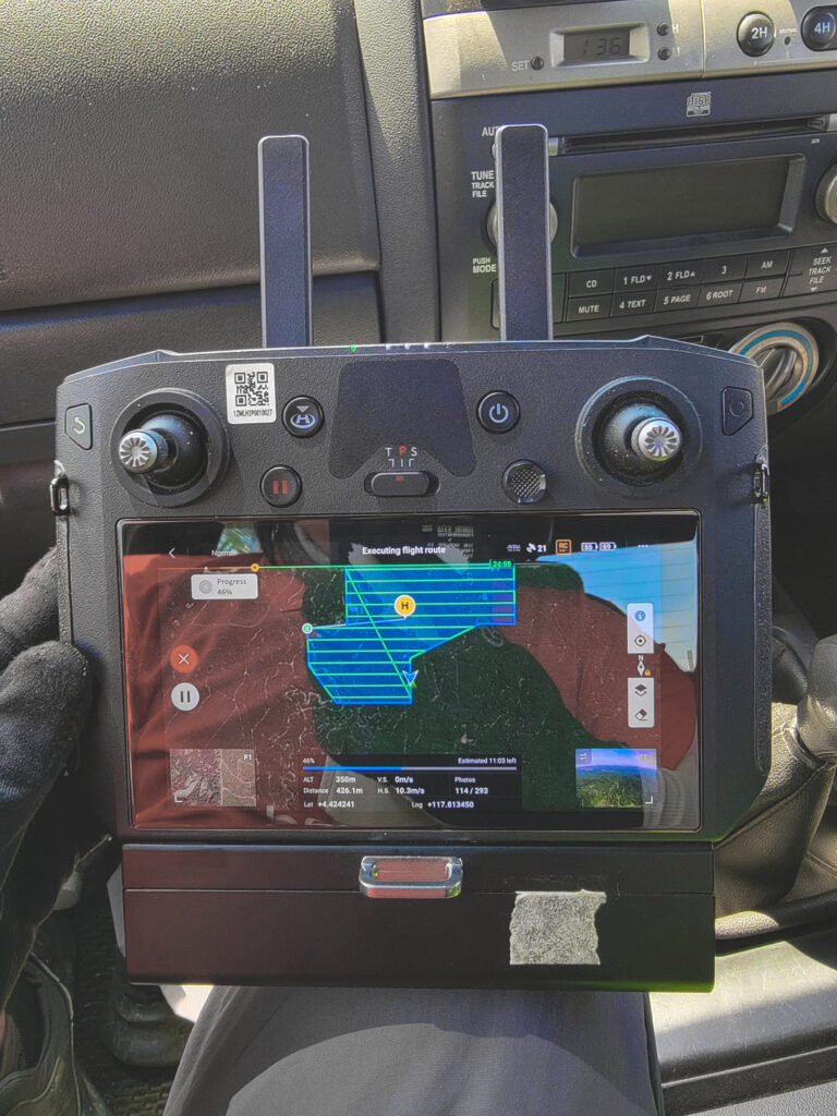
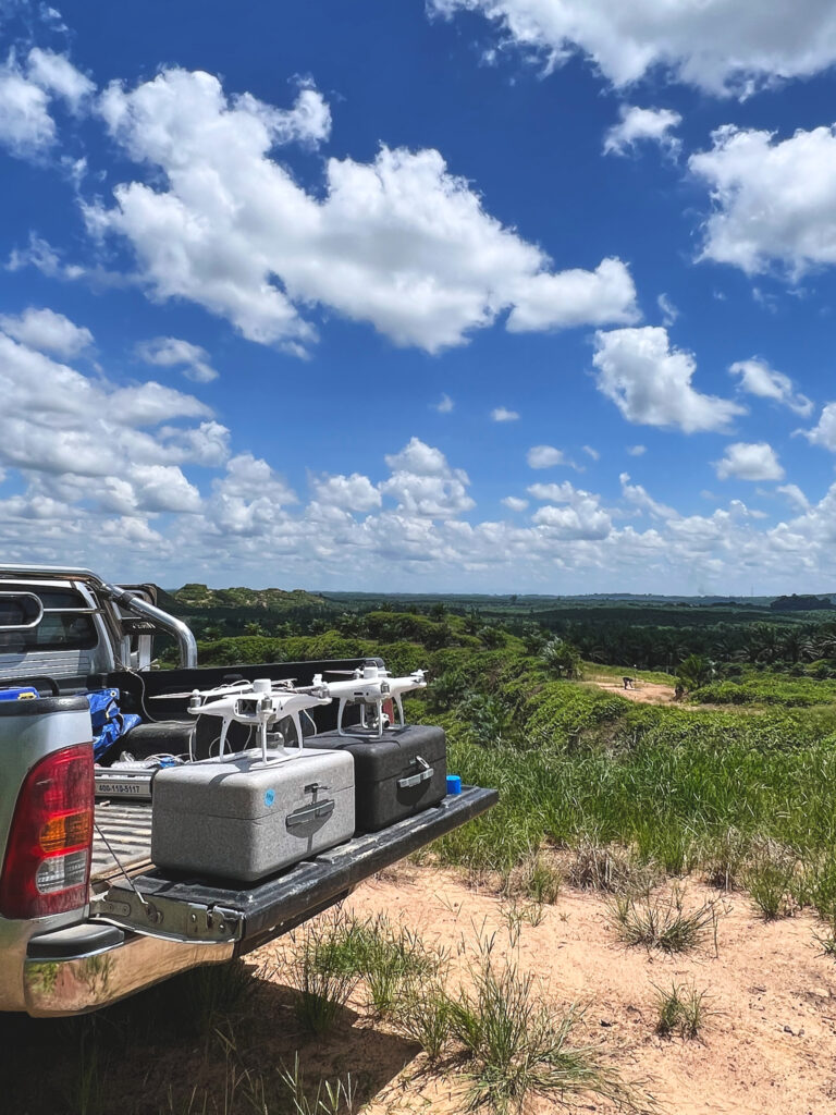

Covering 9000ha in 24 days
The objective of this mission was to collect aerial mapping data to be used for GIS processing, which will be used for our Oryctes point-to-point spraying services. After mapping out the land area, the mapping data is then passed through our AI-powered tree counting algorithm.
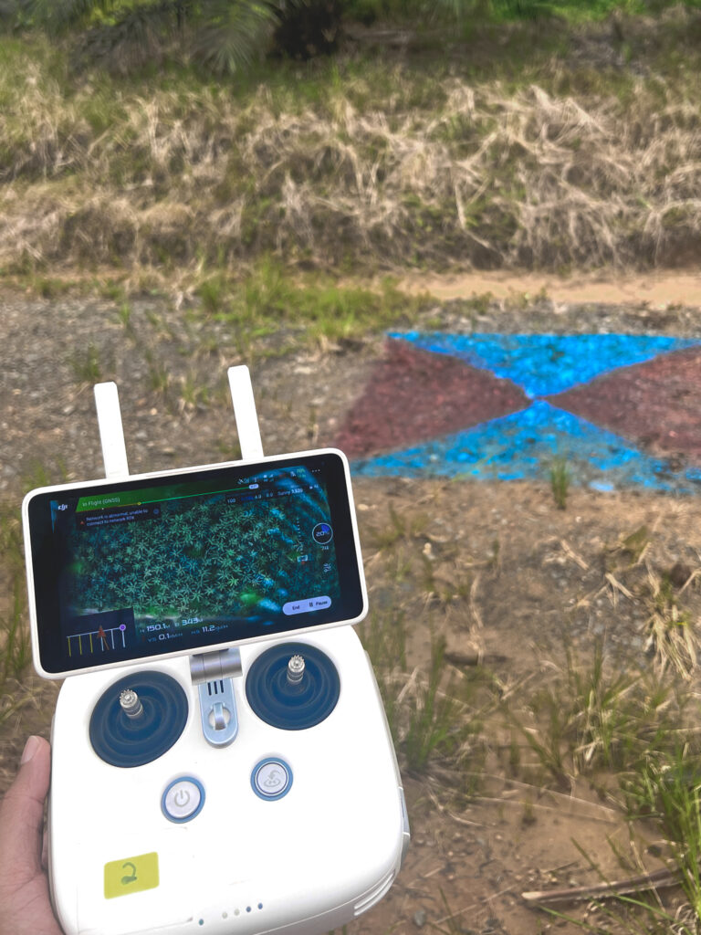
The mission requires high resolution and detailed photos. To meet this requirement, the flight plans are executed at an approximate altitude of 300m and 150m for the M300 and P4 RTK respectively.
By flying at a lower altitude, the Zenmuse P1 captures less in a picture, but produces a highly detailed and higher resolution dataset.
With the Matrice 300 RTK drone, paired with a Zenmuse P1 payload, and a second flying team utilizing the P4RTK, we were able to cover up to 400+ hectares a day.

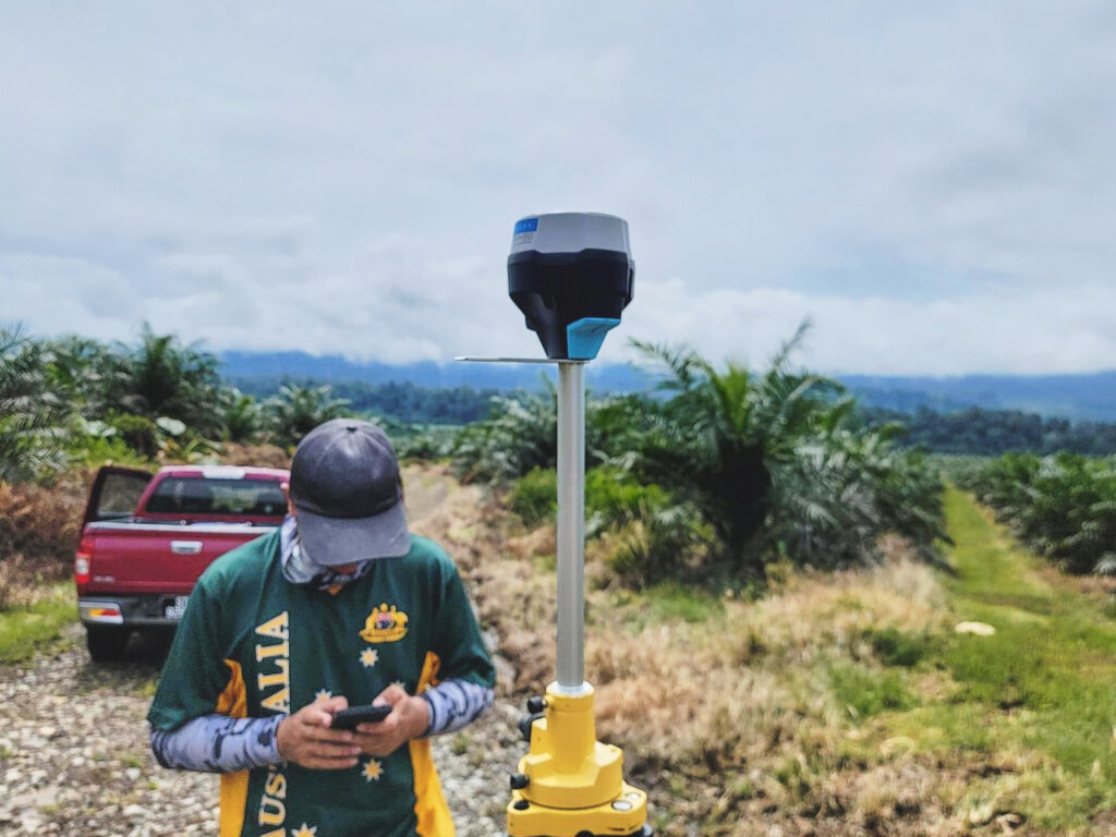
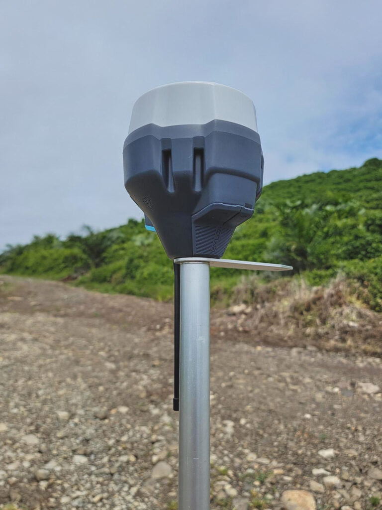
In conjunction with Emlid RS2+ as a base station
With the RTK modules present in both the M300 and P4RTK, we used an Emlid Reach RS2+ as the base station.
The Reach RS2+ was chosen as a base station due to its versatility as a base station and as a standalone RTK GNSS Receiver that can collect points and do stake outs .
The latest addition of an LTE Modem in the Reach RS2+ makes also helps stabilize connection issues due to its faster speed.
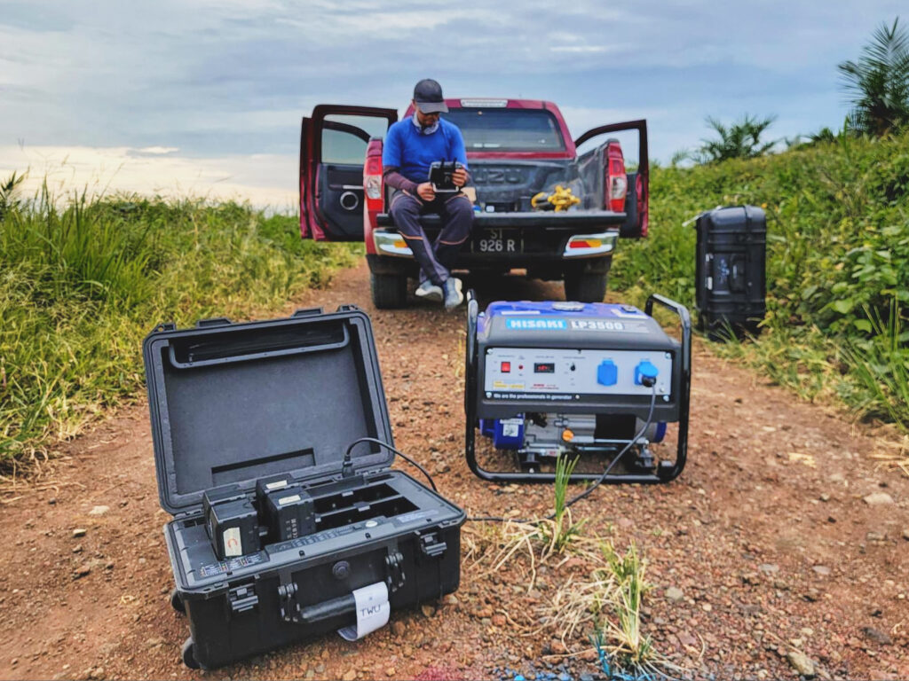
Non-stop operations with the help of the BS60 Intelligent Battery Station
Efficiency was at the utmost importance as the team had was required to complete the project within 30 days.
Thanks to multiple batteries, generators and DJI BS60’s quick charging function, down time was reduced greatly as pilots could execute missions while other batteries were charging on the generator.
Taken with the DJI Matrice 300 RTK and Zenmuse P1

Equipment used in this mission
DJI Matrice 300 RTK + Zenmuse P1
DJI P1 集成全画幅图像传感器与三轴云台,支持多款定焦镜头,成就高性能、多用途航测负载。搭配经纬 M300 RTK 和大疆智图软件,带来高精度、高效率、一体化的航测解决方案,树立航测领域新标杆。


精灵 4 RTK
借助内置的飞行计划应用程序 (GS RTK) 和一种简单的RTK 数据采集方法(RTK 网络或 D-RTK 2 移动站),可为任何测量、测绘或检查工作流程提供完整的解决方案。
Emlid Reach RS2+
Multi-band RTK GNSS receiver Reach RS2+ is designed for professional surveyors and features built-in LoRa radio, LTE modem and a survey app

联系我们
如有任何问题,我们的无人机专家随时为您提供帮助

