Introduction
The science and engineering involved in laying the materials that create our safe and reliable roads, bridges, and highways is what road construction, in its most basic form, refers to. However, road construction is a continuous process that requires ongoing operational measures for upkeep and sustenance. Civil engineers reinforce road revitalization and improvement by specific actions and approaches that result in increased production and maintenance expenses, surpassing the time frame for road development, unwanted delays of work resources and labor, and much more.
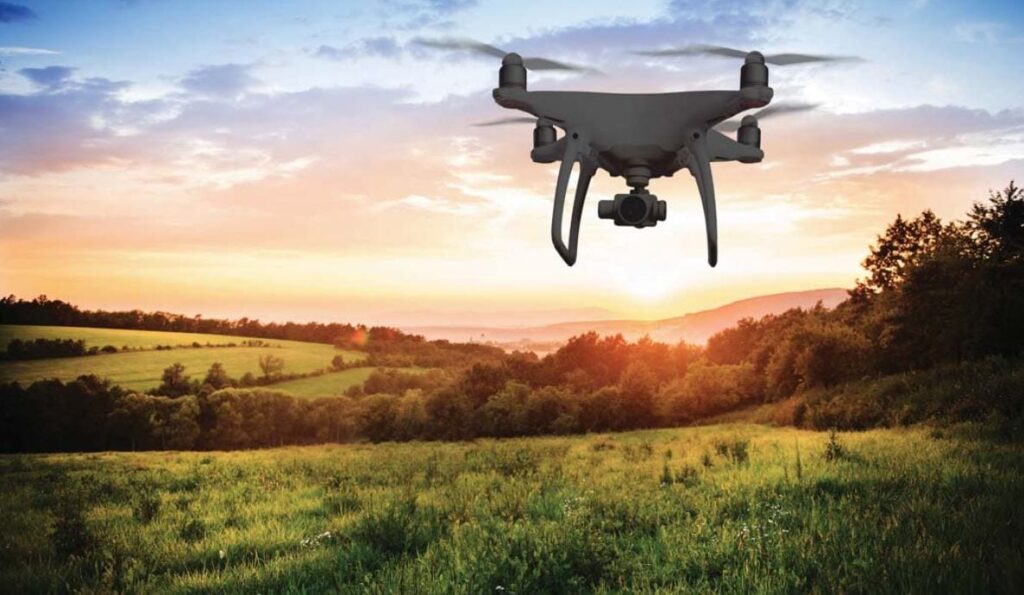
Unmanned Aerial Vehicles (UAVs) provide a viable alternative to the desperate process of road building and maintenance. Drones or UAVs are a suitable and resourceful substitute for conventional techniques due to their advantages of smooth maneuverability, quick and time-critical results, exact measurements, thorough and detailed surveys. The advent of technology in general has resulted in a plethora of possibilities and invention that were before constrained inside the confines of our imagination. Drone technology, with its specialized features, has aided in the recovery of the construction industry.
What Role Does Drone Data Play in the Construction Industry?

Because technology is at the forefront of innovation and advancement, the necessity and application of drones to simplify the difficulties associated with each business has risen. Drone technology, which is also propelling the construction business, employs innovative techniques to propel this industry to new heights. Drone use has resulted in dramatic success in the road building sector, with a 239% growth rate. This demonstrates the great utility drones have in this industry, while also assisting in the development of applicable industries.
Drones offer numerous benefits in this industry, including speedy road surveys, precise mapping, time-sensitive land surveys, and a variety of other road management services. These and other essential procedures are made possible by the high quality and precision of drone data. Aerial surveying, mapping, and data processing generate visual data, content, and measurements that are fueled by LiDAR (Light Detection and Ranging) sensors and Artificial Intelligence automation and technology. Aerial mapping and surveying aid in the collection of data that UAVs will process later to produce precise measurements and information. The most major advantage of drone data gathering and processing is the speed with which aerial surveys and mapping can be completed, which eventually accounts for bridge inspection and road building. Drone survey and photography are primarily designed to generate time-critical yet accurate measurements, saving time and resulting in efficiency and hence developments in the building industry.
5 Major Benefits of Drones for Road Construction
| Beneifts | Explanation |
|---|---|
| Accurate & Detailed Data | They can do accurate land surveys with sub-centimeter accuracy and provide you with the slope between any two places. This allows you to determine where you can pave and which barriers to avoid |
| Improved Decision Making | Drone data aids in decision-making on the ground. UAVs, for example, can hover above a construction site to check supply levels and equipment status. Project managers will then know when to reallocate materials, report damages or accidents, and change plans to get back on track. |
| Faster Data Collection | Drones are not impeded by on-the-ground obstacles. When walking, site debris, equipment, and traffic can all get in the way. However, not with drones. They can easily map entire route corridors from the air. |
| Visual Documentation | UAVs improve visual documentation of each layer of the road as it is built. These layers, when combined, form a stable surface for the final road. Capturing aerial drone footage of each one before moving on to the next, on the other hand, allows you to retain a detailed visual progress log as you go. |
| Improved Worker & Site Safety | Drones improve worker and site safety. Because drones collect data from the air, there is no need to put people in danger when examining the road in or near moving traffic. Drones can also fly at any time of day or night to monitor the construction site while work is halted. |
1. Accurate & Detailed Data
Drones, for example, are an effective tool for analysing the soil before road construction begins. They can, for example, do accurate land surveys with sub-centimeter accuracy and provide you with the slope between any two places. This allows you to determine where you can pave and which barriers to avoid.
Many distinct forms of survey data can be expected:
- Topographic maps—A topographic map is a precise aerial map that depicts elevation variations. These are created by drones using LiDAR lasers. LiDAR, which stands for light detection and ranging, measures the time it takes pulsating laser beams to travel from the aeroplane to the ground and back. It’s similar to sonar, but in the air. This enables you to estimate precise distances such as elevation with sub-centimeter accuracy and even see past obstructions such as trees. When designing road routes, such topographic maps can assist you locate valleys, peaks, and ridges.
- Orthomosaic maps — Drones can capture thousands of aerial photographs for larger areas, which can then be stitched together into an orthomosaic map for a far more precise level of baseline data. Orthomosaic photos, when geometrically corrected for lens tilt and camera distortion, can provide map resolutions of up to 0.7 inches per pixel! This provides stakeholders with a comprehensive perspective of the road, allowing them to track road construction progress.
- Corridor maps — A corridor map is a road’s linear 2D or 3D blueprint. They are often created by drones outfitted with real-time kinematic (RTK) positioning equipment, which compares geotagged photos to GPS data transmitted from a ground station to ensure centimeter-level geographical accuracy. Corridor maps assist road developers, utility companies, and oil and gas operators in better managing encroaching vegetation and right-of-way permits.
- Earthwork surveys — Drone earthwork surveys accurately quantify the volume of soil on a construction site to within 1 to 2% of its genuine volume. They can include cut and fill data, stockpile dimensions, and other information to help you determine how much earth to import and export offsite, as well as when to replace resources. However, they also assist you in determining what plants, waste, or other impediments to clear and where a road will require a bridge or tunnel to traverse natural land obstacles. Drone earthwork surveys can ensure that the earth’s surface complies with building plans before any asphalt paving begins. They can even assist you in determining the most efficient haul routes for transferring products. Drones accomplish this through the use of RTK technology and, in certain cases, ground control points (GCPs), which are physical markers placed throughout the construction site to help position the drone.
2. Improved Decision Making
Drone data aids in decision-making on the ground. UAVs, for example, can hover above a road construction site to check supply levels and equipment status. Project managers will then know when to reallocate materials, report damages or accidents, and change plans to get back on track.
A live feed allows you to watch drone footage in real time. This enables numerous workers to watch the screen at the same time in order to monitor building progress and make more tactical and quick decisions on the job site. A fast drone flight, for example, can notice a mistake in the installation or fine grading of the soil so that personnel can rectify it before moving on. Alternatively, drone data can be processed within hours using drone software for teams to review afterwards.
Drone documentation can also protect you legally. For example, if someone claims they were hurt due to poor site safety conditions, you can look over the drone footage from that day to see what risks were there. You’d have crucial evidence on your side if the issue got to court.
All of these drone applications assist you in avoiding costly blunders. After all, even the smallest error spread across kilometres of road can quickly become a major issue. So, use drone data to get it right the first time and prevent having to go back and forth.
3. Faster Data Collection
Another reason drones can collect data more quickly is that they are not impeded by on-the-ground obstacles. When walking, site debris, equipment, and traffic can all get in the way. However, not with drones. They can easily map entire route corridors from the air.
In the end, road construction surveys that used to take weeks can now be completed in a matter of days using drones. Drones can also provide more regular reports while remaining extremely cost- and time-efficient.
4. Visual Documentation
UAVs also improve visual documentation of each layer of the road as it is built. These are some examples:
- The surface course (75-150 mm)—This is the layer that is in direct touch with automobiles. It is sometimes divided into two courses: the wearing course (25-50 mm) and the binder course (10-100 mm). It is typically made of hot mix asphalt (HMA).
- The base course (100-300mm)— This is the layer that lies immediately beneath the surface course. It adds stability and distribution while also assisting with drainage. It is also commonly made of HMA or crushed aggregate.
- The subbase course (100-300mm)— This layer beneath the base course distributes stress more evenly and aids in drainage. It is typically constructed of HMA or crushed aggregate.
- The subgrade (150-300mm)— This is the road’s deepest stratum. It is composed of compacted earth and serves as the basis for the remaining pavement layers.
These layers, when combined, form a stable surface for the final road. Capturing aerial drone footage of each one before moving on to the next, on the other hand, allows you to retain a detailed visual progress log as you go.
5. Improved Worker & Site Safety
Finally, drones improve worker and site safety. Because drones collect data from the air, there is no need to put people in danger when examining the road in or near moving traffic. Furthermore, the bird’s eye view provided by drones might assist you in anticipating and preventing risky situations before they occur. Overall, this results in fewer worker injuries, reduced liability, and cheaper insurance costs.
Drones can also fly at any time of day or night to monitor the construction site while work is halted. Drones can transmit an alarm to management if there is any unusual behaviour, which can assist avoid vandalism or equipment theft. Overall, drones make worker and site safety concerns much more controllable.
Conclusion
Now that you know the major benefits of using drones in road construction, you might wonder how you can implement them in your next construction project.
Aonic is here to help! We have a team of experience drone pilots that are able to assist you in working on all types of projects. You can even purchase a drone from us for your upcoming construction project! Contact us today for a FREE demo!
References
Road Construction and Monitoring Using Drones
5 Major Benefits of Drones for Road & Highway Construction