Manage all your digitally mapped assets in one software and plan your flights with the help of our A.I tree counting algorithm
What is Airamap Desktop?
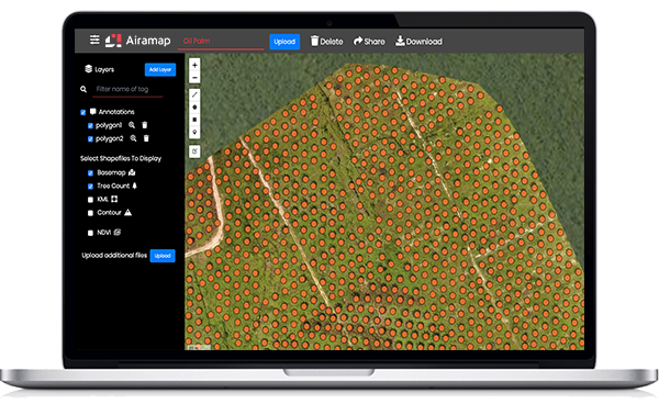
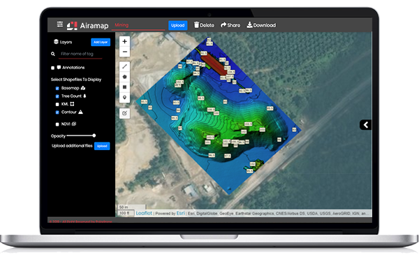
An advanced aerial mapping analytics software, Airamap Desktop is used in industrial applications to monitor your on-site situation so you can do swift and accurate decision-making. Airamap Desktop is equipped with an artificial intelligence (AI) data processing engine that cuts the processing time short while maintaining the quality of the processed results.
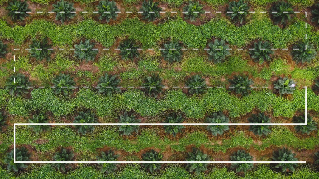
You can plan your drone path and export it to our Oryctes Flight App. Then you can make use of the path for Oryctes drone high-precision spraying operations enhancing operations and at the same time, reducing operational and time costs.

Precision Mapping Made Easy
Analysing and visualising mapping data have never been this easy before

Cross Industry Utilisation
Capture any kind of data in any industries and leave the data processing to the AI

Reliable Results Accuracy and Visualisation
Bringing you the fastest aerial data processing with guaranteed precision and customisable results visualisation
Features
Explore the integrated features of Airamap, optimised to solve your business problems accurately, reliably & easily.
AI-Powered Data
Processing Engine
Airamap Desktop is powered by an AI data processing engine developed especially to ensure your data is processed carefully for utmost accuracy.
Seamless Data
Transmission
You can upload, view and download your files anytime and anywhere with an Internet connection.
Customisable Analytics
Processing and Reports
Choose how you want to analyze your input data and download the processed results in your preferred format.
High-Accuracy GIS
Processing Capability
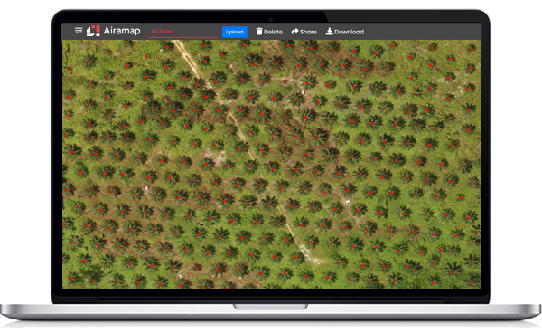
With 99% accuracy in tree counting, Airamap Desktop is optimised for your business in agriculture, construction and many other industries.
Clear-Cut Data
Visualisation
View the processed data on-screen with precise measurement in distances, area, elevation and more, in single or multiple mapping formats.
Palm Oil Plantation Aerial Mapping
Experience how you can capitalise on high resolution and versatile imagery in Airamap to improve your output and profitability.

Got questions? Talk to our sales team!
Our drone experts are here to help

