
In recent years, the use of drones in surveying and drone mapping applications has become increasingly popular due to their ability to capture high-resolution imagery and data from above.
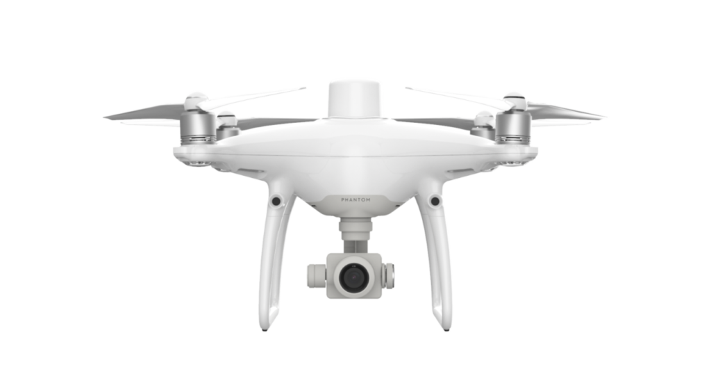
DJI, one of the leading drone manufacturers, has recently released their latest drone, the Mavic 3 Enterprise, which has been touted as a game-changer for survey-grade drone mapping. In this blog post, we will compare the Mavic 3 Enterprise with the previous preferred choice for drone surveying, the DJI Phantom 4 RTK.

| Mavic 3 Enterprise | Phantom 4 RTK | |
|---|---|---|
Max Flight Time | 45 minutes | 30 minutes |
Camera | Wide Camera: 4/3′ CMOS, 20MP Tele Camera: 1/2′ CMOS, 7-56x Zoom | Wide Camera: 1′ CMOS, 20MP |
| Max Flight Speed for Mapping Mission | 15m/s | 13m/s |
| Max Wind Speed Resistance | 12m/s | 10m/s |
Min Shooting Interval | 0.7s | 2.5s |
Max Image Resolution | 5280 x 3956 | 5472 x 3648 |

To address this question, a study was conducted to explore the accuracy between the two drones by fixed GSD 3cm with the same front and side overlap (75/85). To obtain the fixed GSD 3cm of both drones, the height of flying was set to 102 meters for M3E and 110 meters for P4RTK.

The following were measured in the study:
- Accuracy of drone mapping: The study measured the horizontal and vertical accuracy of the mapping data captured by both drones to determine which drone provided more precise data.
- Time efficiency of drone mapping: The study timed how long it took each drone to complete the mapping task.
- Battery consumption: The study recorded the battery life of each drone during the mapping task, determining which drone had a longer battery life and was more energy-efficient.

To evaluate the accuracy and time efficiency of the Mavic 3 Enterprise and the Phantom 4 RTK, a test area was chosen in an oil palm estate situated in Ijok, Selangor. The selected area covered around 10 hectares and was planted with oil palms aged 10 years and above.

The test area was situated on a terraced slope and was designed to have a fixed ground sample distance (GSD) of 3cm with the same front and side overlap (75/85). By selecting this specific testing area, we aimed to obtain accurate and comparable results that can be used to determine which drone is best suited for surveying and mapping applications.

Accuracy of drone mapping
The Mavic 3 Enterprise has been proven to be a highly effective solution for surveying compared to the Phantom 4 RTK. One of the main factors contributing to its success is its superior quality sensor, which boasts larger pixel size and bigger sensor.
The results of the tests conducted to compare the Mavic 3 Enterprise and Phantom 4 RTK drones have been presented in the table below. According to the data, the Mavic 3 Enterprise is more accurate than the Phantom 4 RTK with GSD is set to 3cm.
Accumulative error in X,Y & Z (cm
| Control Point | Mavic 3 Enterprise | Phantom 4 RTK |
|---|---|---|
CP1 | 4.49038 | 6.23362 |
CP2 | 18.1308 | 51.3506 |
CP3 | 14.4472 | 17.4295 |
Total | 13.6334 | 31.5146 |
Mavic 3 Enterprise achieved a higher positioning accuracy than the Phantom 4 RTK. Specifically, the Mavic 3 Enterprise showed an accumulative error of 13.63cm, while the Phantom 4 RTK had a significantly high error value of 31.51cm.
Time efficiency of drone mapping
Moreover, the Mavic 3 Enterprise has demonstrated higher time efficiency than the Phantom 4 RTK with a 3cm GSD. It only takes 3 minutes and 5 seconds to complete mapping a 10-hectare area, while the P4 RTK requires 7 minutes and 30 seconds of flight time with the same GSD, front/side overlap, and area. The table provided below presents a comparison of the improved efficiencies of the Mavic 3 Enterprise versus the Phantom 4 RTK.
| Drone | Hectarage (Ha) | Altitude (m) | GSD (cm) | Overlap (%) | Speed (m/s) | Flight Time |
|---|---|---|---|---|---|---|
|
M3E |
10 |
112 |
3.00 |
75/85 |
15 |
3m 5s |
|
P4RTK |
10 |
110 |
3.00 |
75/85 |
6.5 |
7m 30s |
Battery consumption
While both drones used a single battery, the Mavic 3 Enterprise has a higher balanced percentage of battery power remaining, which enables it to undertake another flight mission. After the flight mission, M3E still has 80% battery level while P4RTK only left with 20% battery level. In contrast, the Phantom 4 RTK has depleted its battery percentage limit.
Processed Data Findings
The following orthomosaic comparison between Mavic 3 Enterprise and Phantom 4 RTK confirms the superior quality of the Mavic 3 Enterprise output. Despite both drones having 20MP wide cameras, the Mavic 3 Enterprise boasts a larger 4/3 CMOS sensor, while the Phantom 4 RTK has a one-inch sensor.
Mavic 3 Enterprise

Phantom 4 RTK

Consequently, the Mavic 3 Enterprise is capable of capturing higher quality images thanks to its larger pixel size of 3.3um, which is greater than the 2.4um pixel size of the P4 RTK. This larger pixel size translates into improved performance in low-light conditions, less noise, better dynamic range, and increased information gathering abilities.


These advantages are essential for achieving precise and efficient aerial surveys. Furthermore, the Mavic 3 Enterprise has an Intelligent Low-Light Mode that enhances its performance in dim lighting conditions.
Additional Features: Safety
The safety features of the drones are crucial to their performance capabilities. The Mavic 3 Enterprise incorporates some of DJI’s newest technology to provide pilots with even greater in-flight safety, surpassing the Phantom 4 RTK in this regard. Notable features of the Mavic 3 Enterprise include:
- Omnidirectional Binocular Vision System: Surpasses the P4 RTK’s forward/rear/downward binocular vision system. M3E‘s omnidirectional sensing enables automatic adjustment of altitude when mapping areas with variations in elevation, without the need to import external elevation data.

Real-Time Terrain Follow
- Advanced Return to Home: Automatically identifies the most suitable route back to the home point and executes it swiftly.
Advanced Return to Home
- APAS 5.0: Continually detects objects in all directions during flight and avoids them quickly and smoothly.
APAS 5.0
The results of the study indicate that the Mavic 3 Enterprise outperformed the Phantom 4 RTK in terms of accuracy, time efficiency, and battery consumption for aerial mapping. The Mavic 3 Enterprise, with a maximum battery life of 45 minutes per battery, was found to be the optimal drone for the aerial mapping industry, as it increased the coverage of aerial mapping jobs per day.
Furthermore, the Mavic 3 Enterprise produced better output results than the Phantom 4 RTK, which led to more reliable, efficient, and accurate data being produced by the M3E, meeting the requirements for high-quality aerial surveying. The improved accuracy, time efficiency, and output quality of the Mavic 3 Enterprise make it a highly desirable drone for aerial mapping professionals.
If you are interested to know more about DJI Mavic 3 Enterprise, arrange a demonstration session by contacting us today.


