Using drones for surveying achieves the same level of topographic accuracy as traditional survey methods, while reducing time and manpower costs significantly
Aerial Mapping
Real time kinematic (RTK) drones capture mapping data with centimetre-level accuracy, enabling highly precise operations such as agriculture spot spraying and digital terrain modelling.
Why Use Drones In Survey & Mapping?
Industry-Level Data Accuracy
Real-time kinematic (RTK) drones capture rich topographic data at centimetre-level accuracy, enabling thorough terrain analysis in various formats (orthomosaic, point cloud, DTM, DSM, contour lines, etc).
Faster And More Cost-Effective
Operating on an automated navigation system, drones deliver the same quality of data at a fraction of the resources spent on traditional methods.
Excellent Performance On All Terrains
Unlike tranditional grounded methods, drones are able to traverse challenging terrain easily, ensuring consistent and seamless data delivery in all environments.
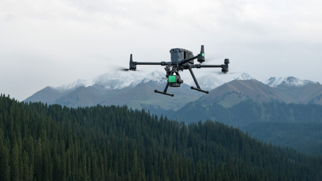
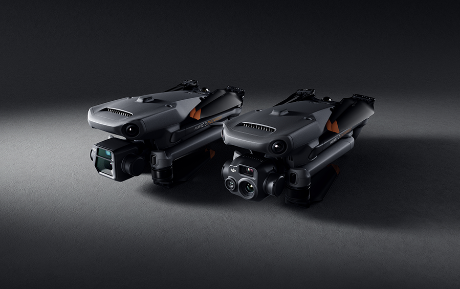
Recommended Drones
DJI Matrice 350 RTK + Zenmuse L2
Zenmuse L2 integrates frame LiDAR, a self-developed high accuracy IMU system, and a 4/3 CMOS RGB mapping camera, providing DJI flight platforms with more precise, efficient, and reliable geospatial data acquisition. When used with DJI Terra, it delivers a turnkey solution for 3D data collection and high-accuracy post-processing.
The DJI Mavic 3 Enterprise redefines industry standards for small commercial drones. With a mechanical shutter, a 56× zoom camera, and an RTK module for centimeter-level precision, the Mavic 3E brings mission efficiency to new heights. A thermal version is available for firefighting, search and rescue, inspection, and night operations.
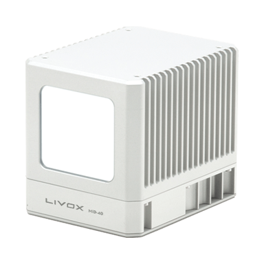
We operate a suite of LiDAR systems to provide high-quality, fast and accurate terrain mapping.
Our lidar-derived supplemental products include hydro enforcement and flattened digital elevation models (DEMs), building footprints, 3D building models, enhanced classifications, terrain slope calculations, contours, vegetation height and density and change detection.
LIVOX Mid-40 Industrial-Grade LiDAR
Simplify Aerial Mapping Data Management Into Three Simple Steps
1
RTK - Calibrated Data Collection
2
Image Stitching & Photogrammetric Analysis
3
Detailed Map & Terrain Model Generation
Get In Touch
Have questions? Our drone experts are here to help