Drone Quét Nhiệt DJI Matrice 30T: Giải Pháp An Toàn Vượt Trội Cho Ngành Dầu Khí
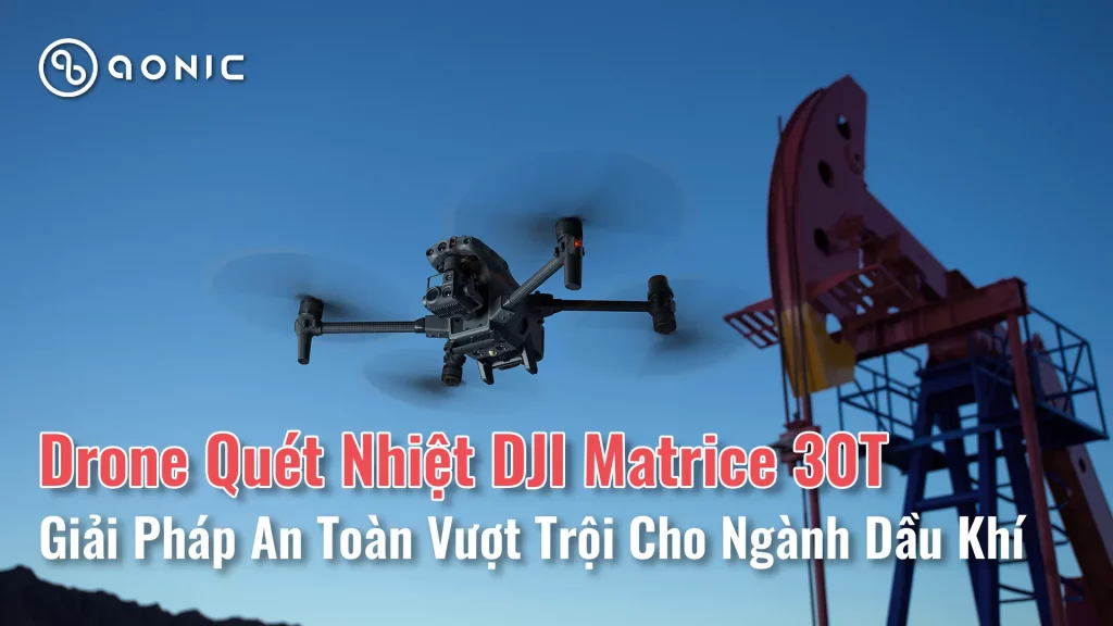
Trong ngành dầu khí, nơi cơ sở hạ tầng rộng lớn và thường xa xôi trải dài trên nhiều địa hình đầy thách thức, công nghệ máy bay không người lái đã nổi lên như một lực lượng biến đổi. Máy bay không người lái, được trang bị cảm biến tiên tiến và khả năng chụp ảnh, cung cấp khả năng tiếp cận vô song đến các tài sản quan trọng như đường ống, nhà máy lọc dầu và giàn khoan ngoài khơi. Với khả năng bay vào các khu vực mà con người không thể tiếp cận và các phương pháp kiểm tra truyền thống, máy bay không người lái cung cấp khả năng thu thập, giám sát và phân tích dữ liệu theo thời gian thực, cho phép bảo trì chủ động và phản ứng nhanh với các mối nguy tiềm ẩn.
So sánh tổng thể Matrice 4: Từ 4E, 4T đến 4D và 4DT
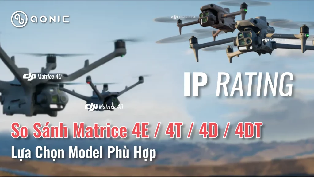
Là những dòng flagship mới nhất của DJI vừa cho ra mắt năm nay, Matrice 4 là dòng drone công nghiệp mang tính đột phá nhất từ trước đến nay.
So sánh chi tiết giữa DJI Mavic 3T và Matrice 4T
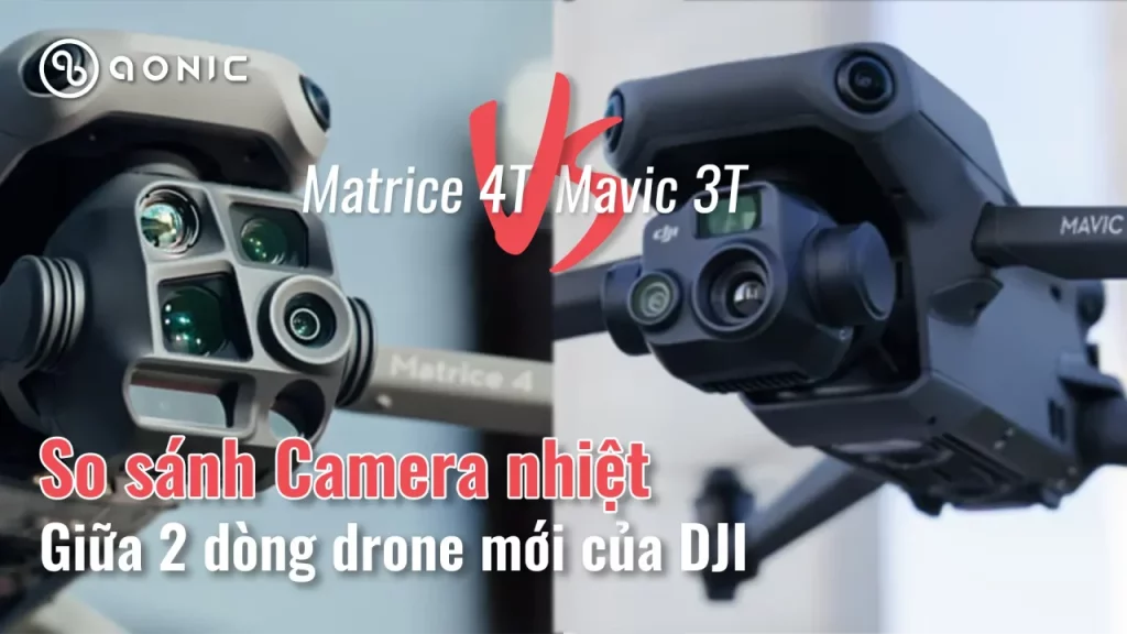
DJI vừa cho ra đời dòng Drone công nghiệp cỡ nhỏ mới nhất là Matrice 4. Vậy phiên bản này có gì nâng cấp ở camera so với dòng Mavic 3 cũng có camera nhiệt?
Severn Trent Ứng Dụng Drone & DJI Dock 3: Giải Pháp Công Nghệ Cao Trong Quản Lý Rò Rỉ Nước
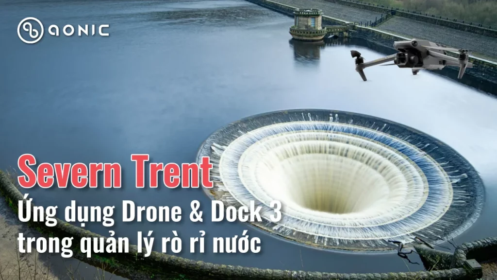
Khám phá cách Severn Trent (Anh) triển khai drone tích hợp AI và DJI Dock 3 để phát hiện rò rỉ nước nhanh chóng, tiết kiệm chi phí và bảo vệ môi trường. Cập nhật thông tin mới nhất về công nghệ DJI Dock 2024!
KHẢO SÁT CẦU ĐƯỜNG BỘ VỚI FLYCAM MAVIC 3E

Aonic thực hiện bay khảo sát công trình cầu đường bộ bằng flycam chuyên dụng DJI Mavic 3 Enterprise và DJI Matrice 30 Thermal
DJI Dock 2 và Mavic 3D trong ứng dụng quản lý và bảo vệ rừng
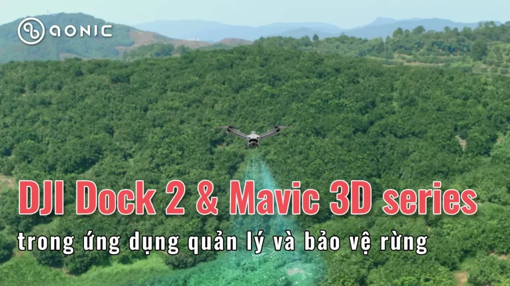
Trong bối cảnh công nghệ không ngừng phát triển, việc ứng dụng các giải pháp tiên tiến như DJI Dock 2 và Mavic 3D vào quản lý và bảo vệ rừng đang trở thành xu hướng tất yếu. Những công nghệ này không chỉ giúp nâng cao hiệu quả giám sát mà còn tiết kiệm thời gian và nhân lực, đồng thời đảm bảo tính chính xác cao trong việc thu thập dữ liệu.
Tiềm Năng Phát Triển Logistics Tại Việt Nam Với Flycart 30: Cơ Hội Và Thách Thức
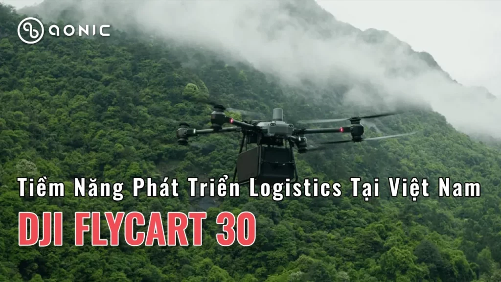
Việt Nam đang trở thành một trong những quốc gia có tốc độ phát triển logistics nhanh nhất trong khu vực Đông Nam Á. Với sự bùng nổ của thương mại điện tử và nhu cầu vận chuyển hàng hóa ngày càng tăng, ngành logistics đang đứng trước những cơ hội lớn để phát triển. Trong bối cảnh đó, Flycart 30 nổi lên như một giải pháp công nghệ tiên tiến, mang đến tiềm năng lớn cho sự phát triển của ngành logistics tại Việt Nam.
Đánh Giá Chi Tiết DJI Matrice 4: Drone Chuyên Nghiệp Đỉnh Cao
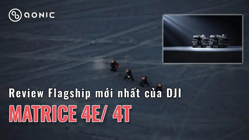
Flagship mới Hiệu năng đỉnh https://youtu.be/rlNDizbakUM DJI, thương hiệu dẫn đầu thị trường drone toàn cầu, vừa ra mắt dòng sản phẩm mới nhất của mình: DJI Matrice 4. Đây là một trong những drone chuyên nghiệp hàng đầu, được thiết kế để đáp ứng nhu cầu của các nhiệm vụ phức tạp như quay phim […]
Hệ thống phát hiện và giám sát chất lượng không khí trên không
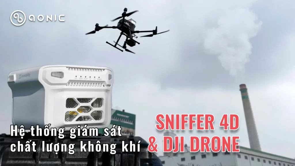
Trong bối cảnh ô nhiễm không khí ngày càng gia tăng, việc phát triển và ứng dụng các hệ thống giám sát chất lượng không khí trở thành một yêu cầu bức thiết. Trong số những công nghệ mới được áp dụng, hệ thống phát hiện và giám sát chất lượng không khí trên không sử dụng thiết bị Sniffer 4D két hợp với drone Matrice 30 đang nhận được nhiều sự quan tâm.
Sự Kết Hợp Giữa Drone và Công Nghệ Truyền Tín Hiệu Bằng Mạng 4G/5G – Tương Lai Của Truyền Dữ Liệu Không Dây
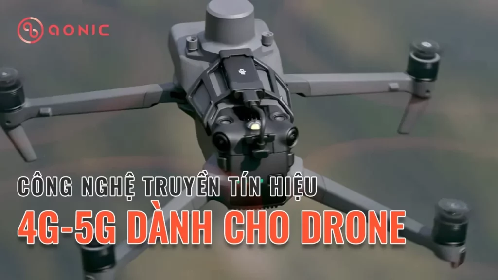
Trong bối cảnh công nghệ phát triển nhanh chóng, drone không chỉ là công cụ phục vụ giải trí mà còn đóng vai trò quan trọng trong nhiều lĩnh vực như nông nghiệp, giám sát, cứu hộ, và vận chuyển. Việc tích hợp công nghệ truyền tín hiệu bằng wifi hoặc 4G dongle giúp drone hoạt động hiệu quả hơn, mở ra nhiều cơ hội và ứng dụng mới.

