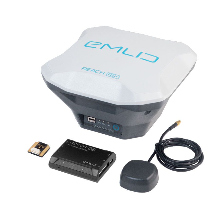
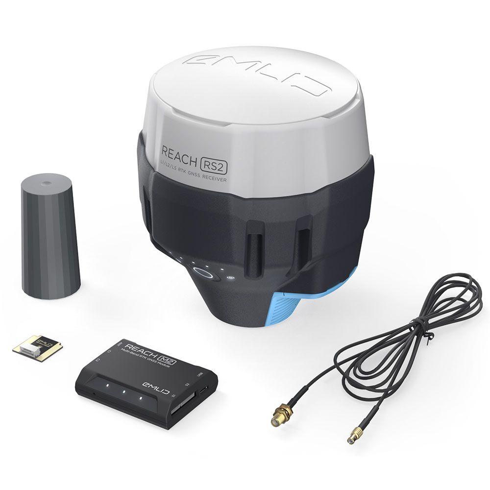
RTK GNSS Modules for UAV mapping
Positioning with centimeter accuracy in RTK and PP
REACH M+
Single-band
Baseline up to 20 km
Update rate: 14 Hz / 5 Hz
10,500 THB
REACH M2
Multi-band
Baseline up to 100 km
Update rate: 20 Hz / 10 Hz
18,900 THB
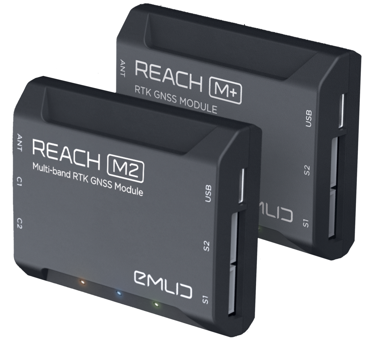

RTK GNSS Modules for UAV mapping
Positioning with centimeter accuracy
in RTK and PPK
REACH M+
Single-band
Baseline up to 20 km
Update rate: 14 Hz / 5 Hz
RM1,550
REACH M2
Single-band
Baseline up to 100 km
Update rate: 20 Hz / 10 Hz
RM2,500
PPK mapping with centimeter accuracy. Use fewer GCPs
Why camera synchronization is so important
โดยปกติแล้ว Autopilot จะใช้กล้องและบันทึกพิกัดที่มีอยู่ในขณะนั้น เมื่อโดรนบินด้วยความเร็ว 20 เมตร / วินาทีและ GPS ทำงานที่ 5 เฮิรตซ์นั่นหมายความว่า นักบินของคุณจะอ่านตำแหน่งได้เพียง 4 เมตรเท่านั้นซึ่งไม่เหมาะสำหรับการอ้างอิงทางภูมิศาสตร์ที่แม่นยำ นอกจากนี้ยังมีความล่าช้าระหว่างทริกเกอร์กับช่วงเวลาที่ถ่ายภาพจริงเสมอ
Reach eliminates the delay
Reach solves the problem of positioning by connecting directly to the camera hot shoe port, which is synced with the shutter. The time and coordinates of each photo are logged with a resolution of less than a microsecond. This method allows GCPs to be used only to check your accuracy.

1. Connect Reach to a hot shoe port on a camera
ทุกครั้งที่ถ่ายภาพกล้องจะส่งไปที่ขั้วต่อแฟลชฮอทชูระบบจะส่งสัญญาณไปที่ขั้วต่อเพื่อเปิดชัตเตอร์
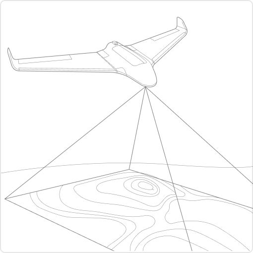
2. Fly a drone, Reach will record photo events
Reach จับพัลส์การซิงค์แฟลชด้วยความละเอียดย่อยระดับไมโครวินาทีและจัดเก็บไว้ในบันทึกข้อมูลดิบ RINEX
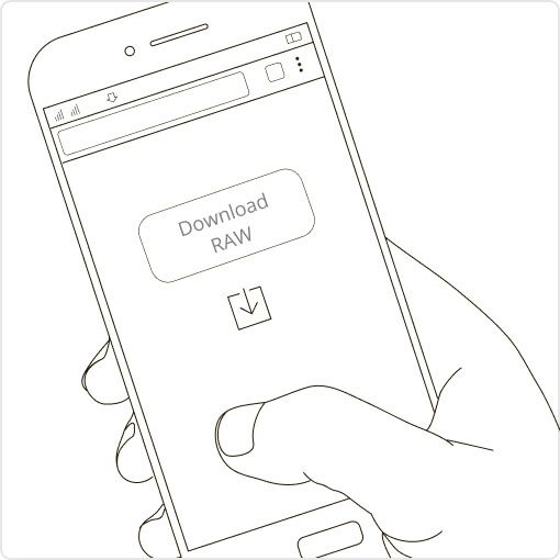
3. ดาวน์โหลดบันทึกจาก Reach และStation
สามารถบันทึก RINEX จาก โทดูล Reach หลังจบการบิน ผ่านตัวเครื่องหรือ Station
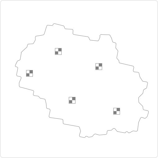
4. Process logs and get a file with geotags of photos
Process RINEX files using free RTKLIB software. The produced file with precise coordinates of the photos can be used for georeferencing.
NTRIP หรือ REACH อีกตัวที่ทำงานเป็น Station
ในการคำนวณพิกัดที่แม่นยำเป็นเซนติเมตรใน PPK และ RTK การเข้าถึงต้องได้รับการแก้ไขจากStation อาจเป็นตัวรับ Reach อื่นหรือบริการ NTRIP รองรับ VRS
Compatibility
Reach M2 and M+ work seamlessly with other Reach receivers over any link and are compatible with any other receiver that supports RTCM3 and NTRIP.
Choosing between Reach M+ and Reach M
Reach M+ and Reach RS+
หากภารกิจและงานของคุณมีระยะทางและขอบเขตที่ไม่มาก การเลือกใช้ M+ คือทางที่ดีที่สุด
RTK
Up to 10KM
Positioning with centimeter accuracy in RTK and PPK
Up to 20KM
Time to get fix
1-2 min
Frequency bands
Single-band
RINEX logging update rate
Single-band
Up to 14 Hz
Reach M2 and Reach RS2
ประสิทธิภาพสูงสุด สำหรับการทำงานท่ีมีขอบเขตกว้าง
RTK
Up to 60KM
Positioning with centimeter accuracy in RTK and PPK
Up to 100KM
Time to get fix
5 seconds
Frequency bands
Multi-band
RINEX logging update rate
Single-band
Up to 20 Hz
Comes with the ReachView 3 app.
ซอฟต์แวร์สไหรับการเก็บและประมวลผลข้อมูลที่สามารถใช้ได้ผ่าน IOS และ Andriod ผู้ใช้สามารถปรับแต่งและควบคุมการตั้งค่าของเครื่องรับสัญญาณ Reach อาทิ การตั้งค่า Station การบันทึกข้อมูล RINEX และการกำหนดค่าเอาต์พุต NMEA รองรับการทำงานร่วมกับโปรแกรมมากมายพร้อมการแปลภาษาAndroid และ IOS รองรับระบบพิกัดหลายพันระบบและแปลเป็นหลายภาษา ด้วย ReachView 3 คุณสามารถควบคุมคุณสมบัติทั้งหมดของเครื่องรับ Reach เช่น การตั้งค่าสถานีฐาน การบันทึกข้อมูล RINEX และการกำหนดค่าเอาต์พุต NMEA

Camera control
ควบคุมกล้องพร้อมจดข้อมูลที่ต้องการลงในแอพ ช่วยให้นักบินจดบันทึกหรือทำเครื่องหมายต่อสิ่งที่เจอ ทำให้การบันทึกเหตุการณ์และเวลา ง่ายขึ้น

สะดวกต่อการจัดการบันทึก
Logs are automatically recorded directly to RINEX in the internal memory. View a list of the logs and download them using the ReachView app.

Monitoring data
ReachView shows current satellite levels, your location on a map, and much more.
Reach
ReachView app and all features of Reach receivers are included
บทความที่เกี่ยวข้อง
Contact To Purchase
Have questions? Our drone experts are here to help


