What is Phantom 4 RTK
โดรนทำแผนที่ RTK ใช้ระบุตำแหน่งอย่างแม่นยำในระดับเซ็นติเมตร โดยไม่จำเป็นต้องใช้ Station หรือจุดควบคุมภาคสนามอีกต่อไป
Features
RTK MODULE
1" CMOS SENSOR
GS RTK APP
TIME-SYNC
OCU-SYNC
D-RTK 2 GNSS MOBILE STATION
อีกระดับของการทำแผนที่
ทำแผนที่ได้ง่ายๆด้วยแอพวางแผนการบินในตัว GS RTK พร้อมความสะดวกในการรวบรวมข้อมูล ผ่านเครื่อข่าย RTK หรือสถานีเคลื่อรที่ D-RTK 2 ทำให้ตอบโจทย์การใช้งานในหลายรูปแบบ ไม่ว่าจะเป็น การสำรวจ การทำแผนที่ หรือการตรวจสอบ
Centimeter-Level Positioning System
Precise Imaging System
Gather Accurate Data with TimeSync
Built for Surveyors
แอปพลิเคชั่นเพื่อการปฏิบัติงานจริง
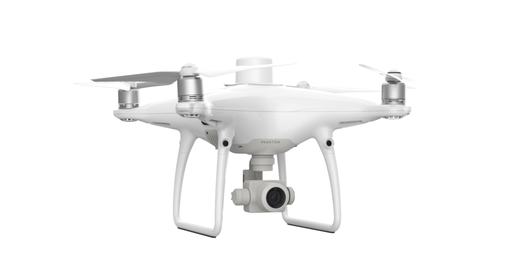
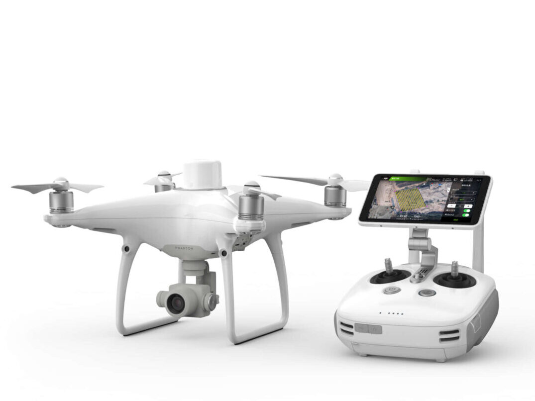
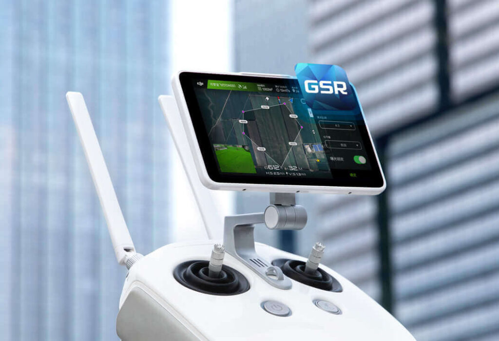
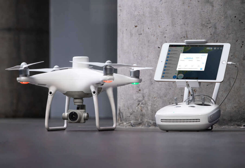
The new GS RTK app allows pilots to intelligently control their Phantom 4 RTK, with multiple planning modes, including Photogrammetry (2D and 3D), Waypoint Flight, Terrain Awareness, Block Segmentation*, and more., เที่ยวบินจุดอ้างอิง, การให้ความรู้ภูมิประเทศ, บล็อกการแบ่งกลุ่ม* และอื่นๆ
ปรับใช้กับแอพอื่นๆได้อย่างมีประสิทธิภาพ
สำหรับผู้ใช้ที่ถนัดการใช้แอปสำหรับบินอื่นๆกับ โดรน DJI ท่านสามารถเชื่อมต่อ Phantom 4 RTK กับ SDK Remote Controller เพื่อเชื่อมต่อกับอุปกรณ์จาก Android และ IOS หรือติดตั้งแอพที่รองรับ DJI Mobile SDK เพื่อดึงประสิทธิภาพสูงสุดของ Phantom 4 RTK ออกมาใช้
OcySync Transmission System
ระบบเชื่อมต่อทรงอนุภาพ การันตีการส่งภาพและวิดีโออย่างลื่นไหลในระยะทางสูงถึง 7 กม. ซึ่งเหมาะกับการทำแผนที่ขนาดใหญ่
D-RTK 2 Mobile Station
เพิ่มขีดจำกัดของการสำรวจด้วย D-RTK 2 Mobile Station ให้ข้อมูลที่แตกต่างกันออกไปแบบเรียลไทม์ เพื่อแนะนำแนวทางการบินที่แม่นยำมากขึ้น
Start Mapping Today
บทความที่เกี่ยวข้อง
Contact To Purchase
มีคำถาม? Have questions? Our drone experts are here to help