All about Aonic
Locate your nearest Aonic Service Centre
Join our team of passionate individuals
Read up on the latest Aonic updates and articles
Point-to-point RTK spraying drone
Most affordable open-field crop spraying drone in Malaysia
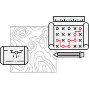
Full-fledged mapping software
Android-based flight management & telemetry app
All-in-one solutions to streamline workflows on farms and plantations
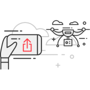
Data acquisition using aerial photogrammetry
Simplify difficult and dangerous tasks at construction sites
Simplify inspection and maintenance of heavy infrastructure
Crisis management with drones
Agriculture drone hire purchase program
Find out more about our service centres across the region
Learn to fly with Aonic
Let our drone experts handle the planning, flying, processing and data analytics, which will be summarised in concise, actionable reports for you.
หากคุณมีความคิดหรือกำลังวางแผนที่จะซื้อโดรน เราสามารถช่วยคุณเลือกและตั้งค่าโปรแกรมโดรนที่เหมาะสมต่อผลผลิตทางการเกษตรของคุณเพื่อให้การลงทุนของคุณนั้นมีประสิทธิภาพมากที่สุด
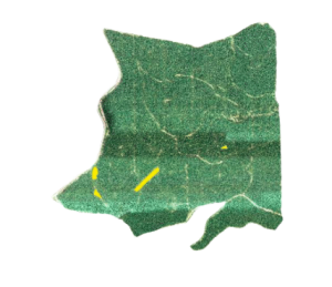
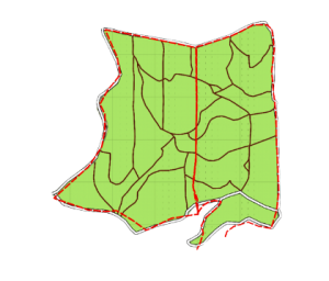
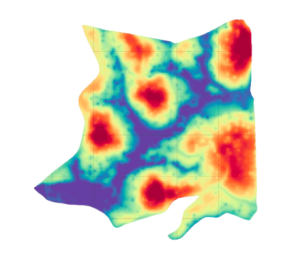
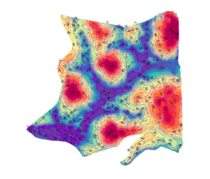
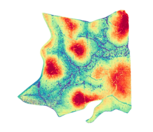
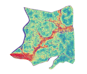
High-resolution maps for you to keep track of your plantation, monitor plant health and plan for harvest & replantation cycles.
รายงานข้อมูลที่เชิงลึกที่จะช่วยให้คุณสามารถดำเนินการป้องกันและแก้ไขได้ทันเวลาเพื่อจัดการกับต้นไม้ที่เป็นโรคและบริเวณที่มีปัญหาอย่างมีประสิทธิภาพ
วัดและติดตามวงจรผลผลิตอย่างแม่นยำเพื่อเพิ่มประสิทธิภาพการเก็บเกี่ยวถึงขีดสุดพร้อมประเมินผลตอบแทนและผลกำไรในอนาคต
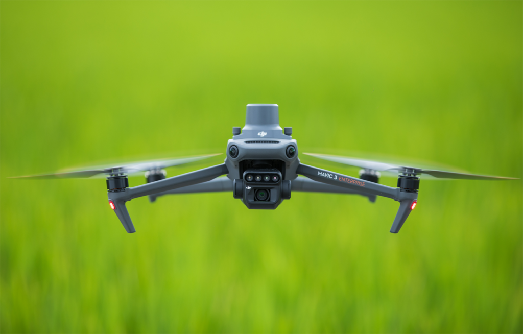
Mavic 3 Multispectral ตรวจสอบและให้ข้อมูลเชิงลึกลึกเกี่ยวกับสุขภาวะของพืชผลและวิเคราะห์หาวิธีจัดการปัญหาอย่างมีประสิทธิภาพ ประยุกต์ใช้ได้หลากหลาย
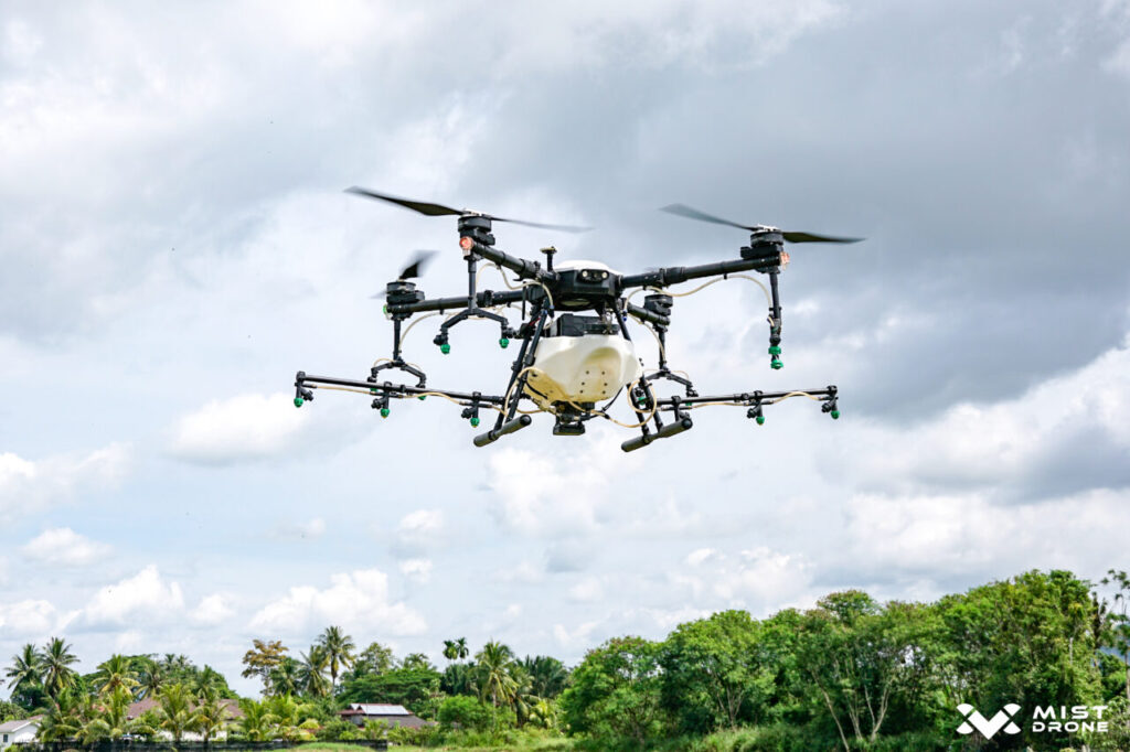
โดรนฉีดพ่นทางการเกษตร นำเข้าจากมาเลเซีย ด้วยความจุ 17 ลิตร ในรุ่น Mist Pro หรือ ความจุสูงสุดที่สามารถติดตั้งถังหว่านได้ ถึง 40ลิตร ในรุ่น Mist Max ทำให้การฉีดพ่นทางการเกษตรนั้นมีประสิทธิภาพและง่ายมากขึ้น ลดต้นทุนพร้อมคืนกำไรการลงทุนได้อย่างรวดเร็ว
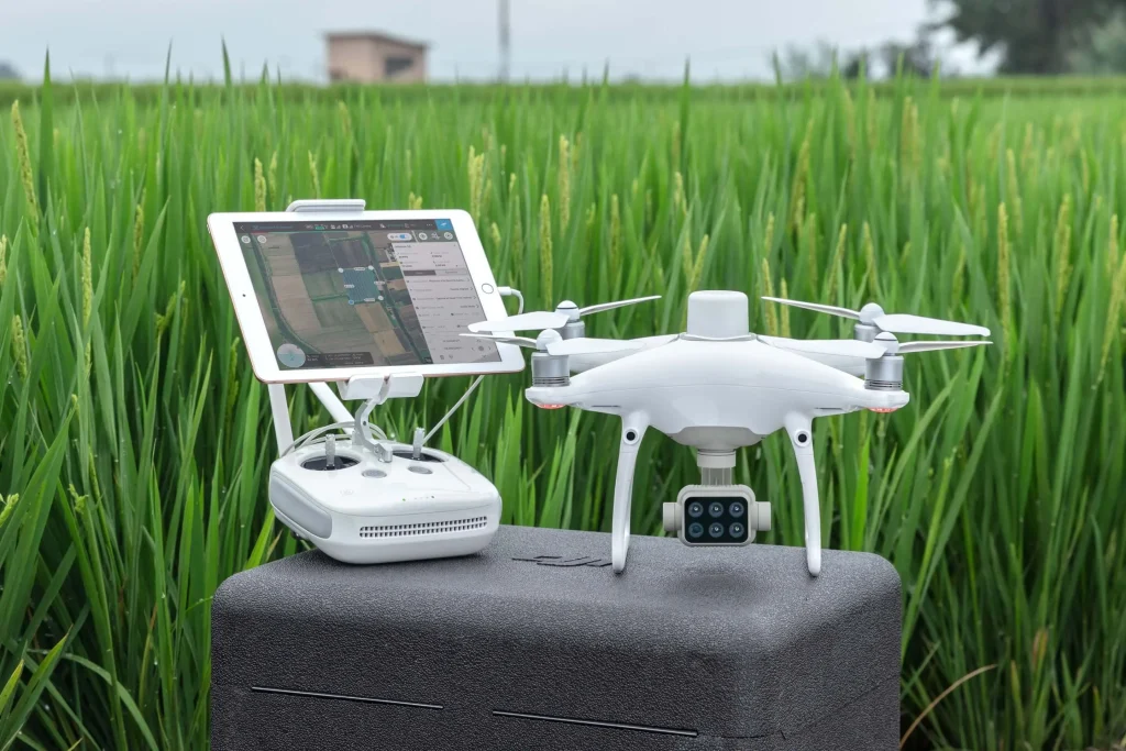
Phantom 4 Multispectral ตรวจสอบสุขภาวะของพืชไร่พร้อมวิเคราะห์จุดบอดในแปลงเกษตรเพื่อการแก้ปัญหาอย่างตรงจุด
ส่งผ่านข้มูลแบบเรียลไทมืพร้อมอุปกรณ์และแอปพลิเคชั่นที่มีขึ้นเพื่อการทำงานด้วยกันกับโดรนโดยเฉพาะ
จัดการและดูข้อมูลของคุณบนอุปกรณ์ใดๆก็ได้ โดยใช้แพลตฟอร์มบนมือถือ เว็บ คลาวด์ และเดสก์ท็อป FieldAgent
ออกแบบและบ่งชี้จุดบกพร่องในการจัดการปัญหาทางการเกษตรอย่างแม่นยำพร้อมการตรวจสอบชุดข้อมูลเก่าเพื่อประเมิณสิ่งที่อาจเกิดขึ้นในอนาคต
Have questions? Our drone experts are here to help