UTILISING DRONE IN ARCHAEOLOGICAL FIELD BY THE FUNCTIONS OF 3D IMAGINING, AERIAL IMAGERY AND MAPPING.
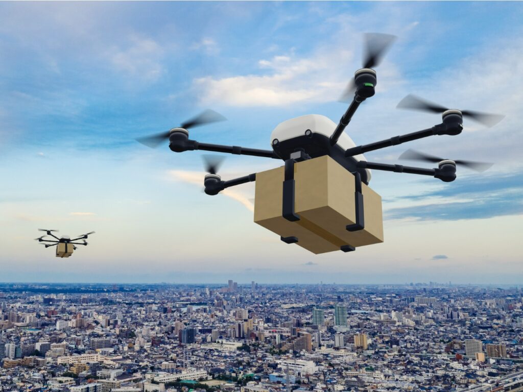
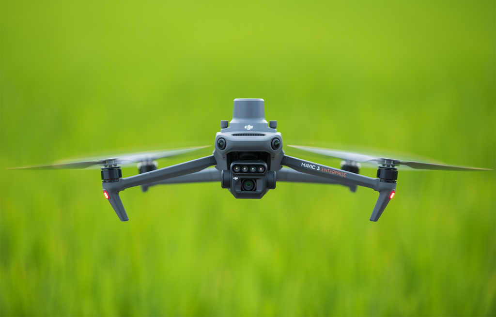
We have been talking about drones application in many areas such as agriculture, construction and land surveying. This is due to the widespread use of drones in this sectors and many improvements through R&D have been done to build the ideal drone for industrial usage.
However, in other smaller industries such as weather forecasting and archeology, the utilisation of drones to aid the processes is not fully adopted yet.
Nevertheless, these smaller industries have started to see the potential of drones technology that can be adapted into their workflow. In this article, we will be learning how drones can be utilised in the archaeological field.
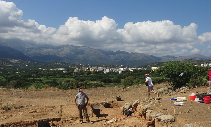
Archaeological field revolves around discovering the relics of past human activities and nature occurrences. Archaeological processes normally revolve around digging and unearthing certain sites that hold historical artefacts.
How do drones are helping out these discoveries then?
AERIAL IDENTIFICATION
According to Allison Dickens, manager of the Cambridge Archaeological Unit (CUA) within the University of Cambridge, “Drones provide key surveying capabilities and point the way to new excavation sites.”
This is due to the fact that drones can provide aerial view of an area. The identification process the site can be more effective as researchers would be able to see more than identifying from ground view.
This can be effective to survey the area for other potential key areas that may hold buried ruins or artefacts.

Using LiDAR, some new discoveries which were not visible to human’s bare eyes have been found. The structures which were buried under the ground is easily distinguished by using LiDAR technology.
EVACUATION PROCESS PROGRESS
While some archaeologists used drones for pre-excavation process, there are researchers that used drones right throughout the excavation till the end. Close-up, vertical and rapid shots of the digging process and area are taken using drones.
Bird-eye view will enable the detailed planning of the excavation process, by identifying the key areas for digging and time estimation on each site.
3D MODEL
Some historical sites may have ruins or build-up of ancient building but the digging process must be done in order to learn more about that particular site. But digging the site means destroying the structure above the ground.
Here, drones play a very crucial role in taking pictures of the site and remains of the structure. This will enable the researchers to easily build a 3D model later on which will serve a great purpose of understanding that particular historic site.

DOUG GANN/ARCHAEOLOGY SOUTHWEST.
IMAGINING LANDSCAPE
With the imagery function of drone, the landscape surrounding the excavation area can be easily captured and obtain. The surrounding landscape and terrain would help the researches imagining how the area looked like back then.
CONCLUSION
The drone technology is getting recognised day by day. Although it is pretty new in some areas such as archaelogy and research, more and more improvement can be done to accomodate certain needs in the field. With this, it is clear that drones are now proven effective to be utilised in many areas to help reducing the cost and capital.