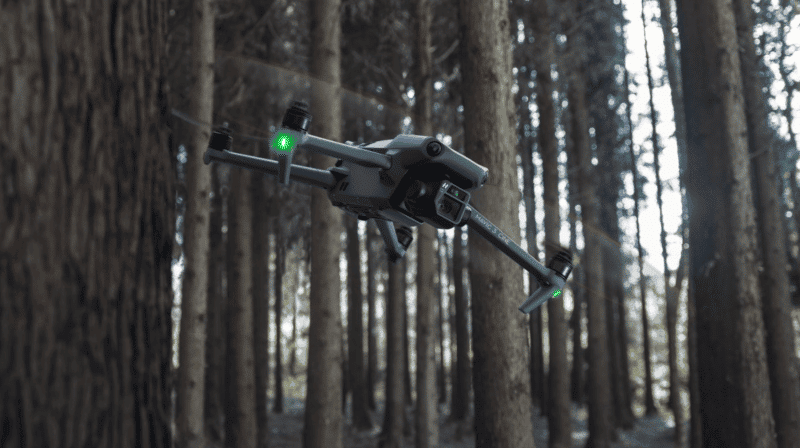
Forests are among the Earth’s most valuable ecosystems, playing a critical role in maintaining biodiversity, stabilizing our climate, and providing resources for countless species, including humans. However, these vital forests face threats from deforestation, illegal logging and climate change. To combat these challenges and protect our forests, technology has come to the rescue, and drones are playing a key role in forest conservation efforts. In this blogs, we’ll explore how drones are contributing to the preservation of our precious woodlands.
Eye in the Sky: Aerial Surveillance
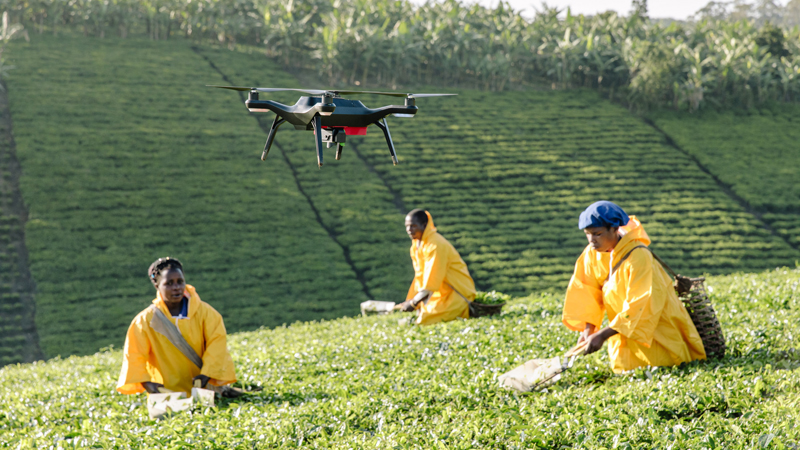
Drones equipped with high-resolution cameras have become a valuable tool for monitoring and protecting forests. They provide an aerial perspective that was once only accessible through costly manned flights. A few ways drones are used include:
- Illegal Logging Detection: Drones patrol vast forested areas, identifying and documenting illegal logging activities. They can access remote and challenging terrain, making it difficult for loggers to escape detection
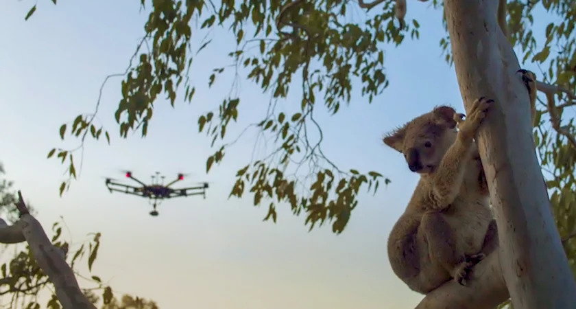
- Wildlife Monitoring: Drones assist in tracking wildlife populations, studying their behaviors, and identifying potential threats to their habitats.
- Fire Detection: Drones are equipped with thermal imaging cameras to spot forest fires in their early stages. This rapid detection can help prevent the spread of fires and minimize damage.
- Forest Health Assessment: Multispectral and LiDAR-equipped drones analyze the health of trees and vegetation. They can identify signs of disease and stress, helping forest managers take timely actions.
Reforestation and Seed Bombing
Drones are not just about surveillance; they actively participate in the restoration of forests. Reforestation efforts are significantly boosted by drone technology;
- Seed Bombing: Drones are loaded with seed-filled pods that are released over deforested area. The pods disintegrate upon impact with the ground, helping to reseed the forest.
- Precision Planting: Drones are used to plant trees in specific locations, ensuring efficient use of resources and increasing the chances of successful growth.
Air Quality Monitoring
Forests play a vital role in purifying the air by absorbing carbon dioxide and releasing oxygen. Drones equipped with air quality sensors help in assessing the impact of deforestation on air quality. This data aids in making informed decisions regarding land use and conservation policies.
Forest Mapping and Planning
Drones are employed to create accurate 3D maps and models of forests. These maps are used to plan conservation strategies, monitor changes in forest cover, and assess the effectiveness of conservation efforts over time.
10 Examples of Forest Conservation Using Drones
Let’s take a close look at specific examples of how drones are making a significant impact in forest conservation using drones:
- Illegal Logging Deterrence: Drones are a formidable deterrent to illegal loggers, as they can capture photographic evidence that aids law enforcement in tracking down and prosecuting those responsible.
- Protecting Vulnerable Wildlife: Drones monitor endangered species’ habitats, providing data that helps conservationists better understand and protect these animals.
- Rapid Fire Detection: Equipped with thermal cameras, drones quickly detect forest fires, enabling a swift response to control and extinguish the flames.
- Early Disease Detection: Multispectral and LiDAR-equipped drones detect signs of disease and stress in trees, helping forest managers respond promptly to prevent further damage.
- Reforestation with Precision: Drones ensure precise planting of trees in locations where they are most likely to thrive, optimizing reforestation efforts.
- Seeding Barren Areas: Seed-dispensing drones are used to cover deforested or fire-damaged areas with seeds, kickstarting the regrowth of forests.
- Air Quality Assessment: Drones equipped with air quality sensors monitor changes in air composition resulting from deforestation, influencing land use and conservation policies.
- Mapping Forest Cover: Drones create detailed 3D maps of forests, allowing conservationists to monitor changes in forest cover and plan effective conservation strategies.
- Tracking Forest Health: Drones provide regular assessments of tree and vegetation health, enabling early intervention to save forests from disease and pests.
- Efficient Wildlife Conservation: Aerial monitoring by drones is cost-effective and reduces human intrusion in wildlife habitats, making it a win-win for conservation.
Challenges and Considerations
While drones offer a plethora of benefits in forest conservation, their use also raises challenges:
- Privacy concerns, particularly in cases involving wildlife monitoring.
- Limited battery life can hinder extended surveillance missions.
- Regulatory hurdles may vary by location, affecting the deployment of drones.
As technology advances and regulations become more accommodating, drones are expected to become even more instrumental in forest conservation efforts. Their ability to efficiently cover vast areas, collect valuable data, and actively participate in reforestation makes them a valuable ally in the battle to preserve our forests. With drones as our high-flying partners, we’re better equipped to safeguard these irreplaceable ecosystems for future generations.
References
How Drone Technology is Becoming Essential for Forestry
New Tree Tech: Cutting-edge drones give reforestation a helping hand