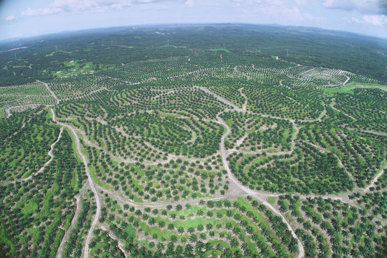
Mapping oil palm plantations with the DJI Matrice 300 RTK, Phantom 4 RTK, Zenmuse P1. Used in conjunction with the Emlid RS2+ as a base station.
Photogrammetry with the Phantom 4 RTK, Matrice 300 RTK and Zenmuse P1
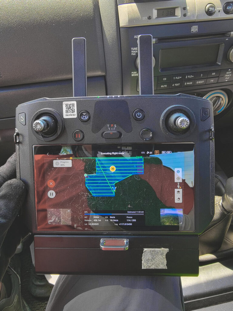
Covering 9000ha in 24 days
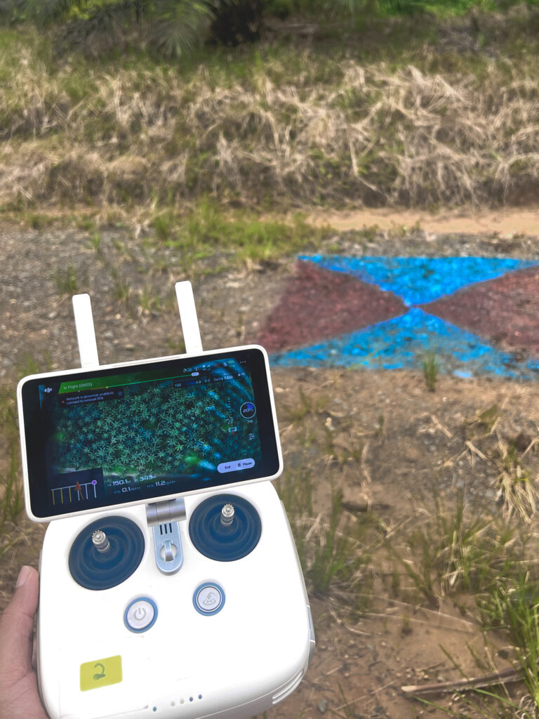
The objective of this mission was to collect aerial mapping data to be used for GIS processing, which will be used for our Oryctes point-to-point spraying services. After mapping out the land area, the mapping data is then passed through our AI-powered tree counting algorithm.
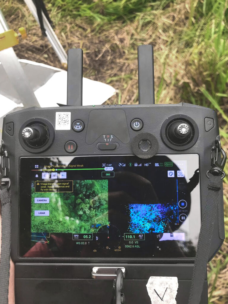
The mission requires high resolution and detailed photos. To meet this requirement, the flight plans are executed at an approximate altitude of 300m and 150m for the M300 and P4 RTK respectively.
By flying at a lower altitude, the Zenmuse P1 captures less in a picture, but produces a highly detailed and higher resolution dataset.
With the Matrice 300 RTK drone, paired with a Zenmuse P1 payload, and a second flying team utilizing the P4RTK, we were able to cover up to 400+ hectares a day.
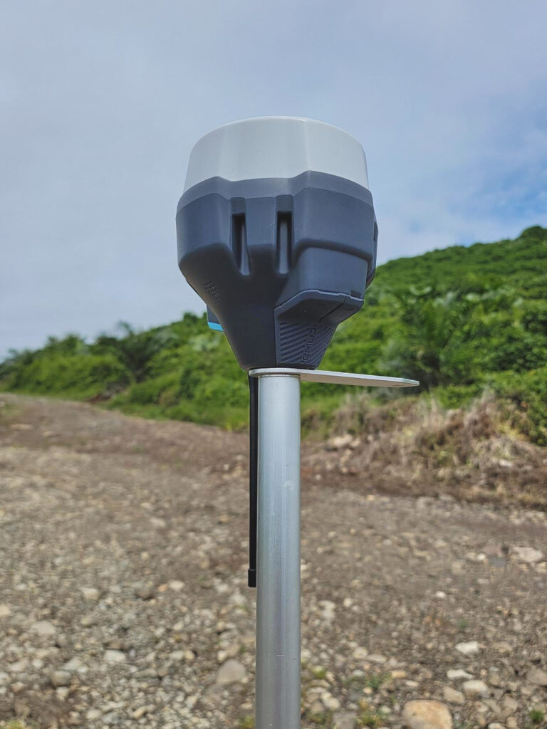
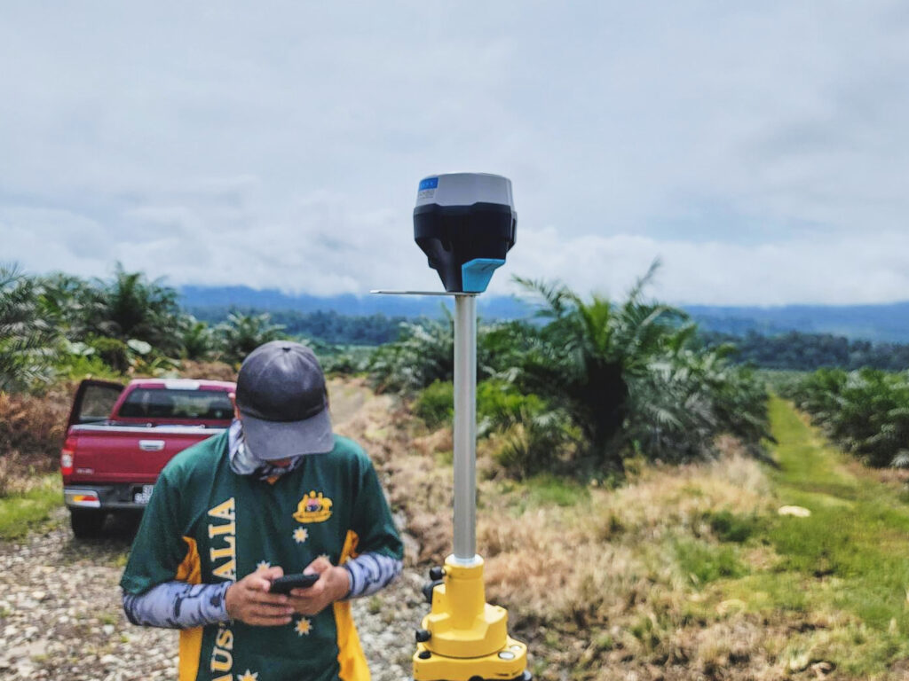
In conjunction with Emlid RS2+ as a base station
With the RTK modules present in both the M300 and P4RTK, we used an Emlid Reach RS2+ as the base station.
The Reach RS2+ was chosen as a base station due to its versatility as a base station and as a standalone RTK GNSS Receiver that can collect points and do stake outs .
The latest addition of an LTE Modem in the Reach RS2+ makes also helps stabilize connection issues due to its faster speed.
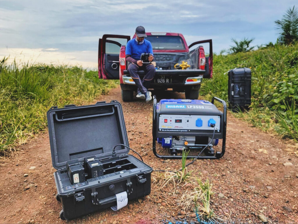
Non-stop operations with the help of the BS60 Intelligent Battery Station
Efficiency was at the utmost importance as the team had was required to complete the project within 30 days.
Thanks to multiple batteries, generators and DJI BS60’s quick charging function, down time was reduced greatly as pilots could execute missions while other batteries were charging on the generator.
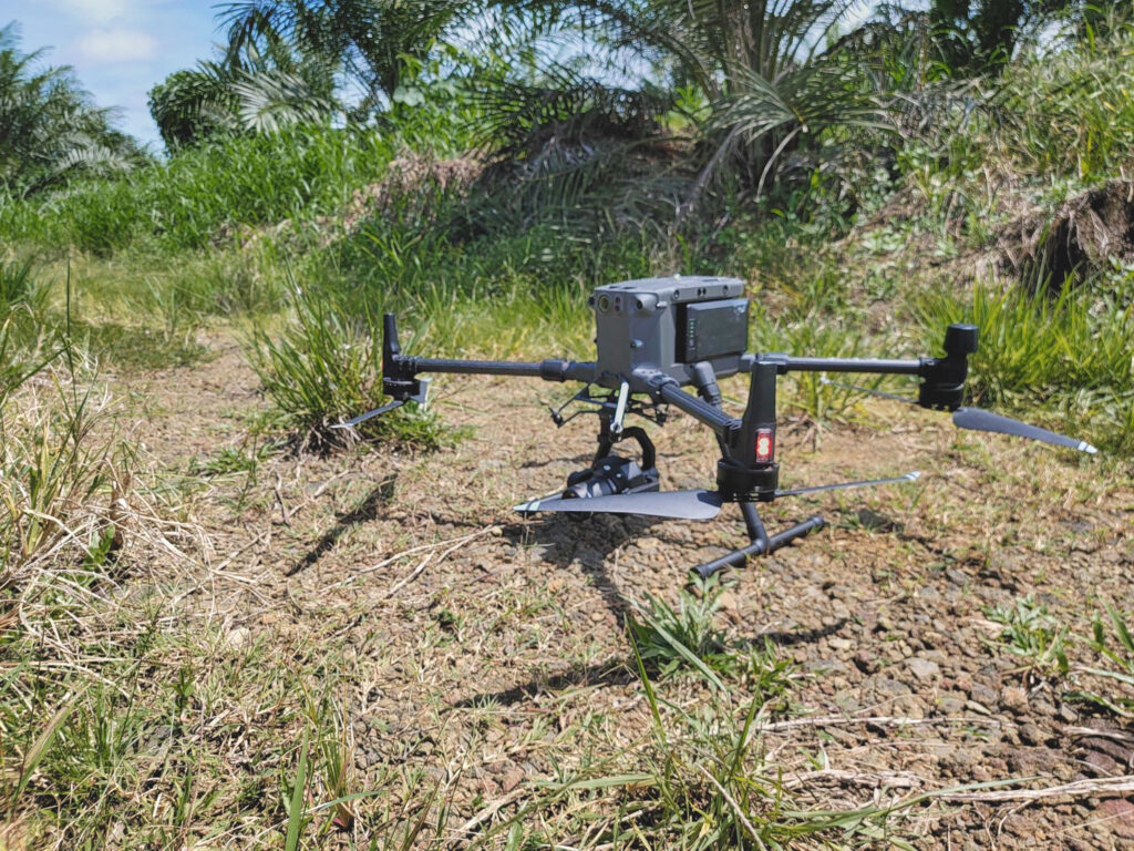
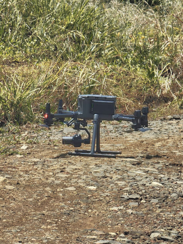
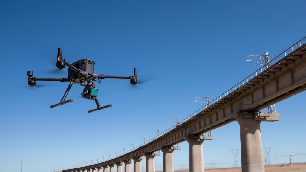
Taken with the DJI Matrice 300 RTK and Zenmuse P1
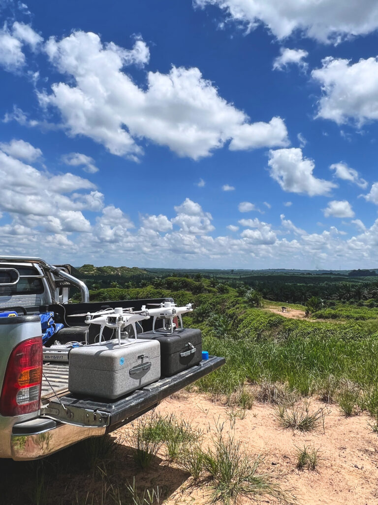
Equipment used in this mission
DJI Matrice 300 RTK + Zenmuse P1
The Zenmuse P1 integrates a full-frame sensor with interchangeable fixed-focus lenses on a 3-axis stabilized gimbal. Designed for photogrammetry flight missions, it takes efficiency and accuracy to a whole new level.
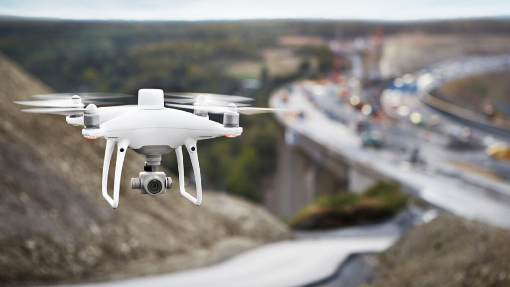
With a built-in flight planning app (GS RTK) and an easy method to collect RTK data (RTK Network or D-RTK 2 Mobile Station), pilots have a full solution for any surveying, mapping or inspection workflow – right out of the box.